UK 2017 Q1 Project: Water
Jump to navigation
Jump to search
The first UK Quarterly Project for 2017 is Water.
The aim of this project is to find any mapping activity related to water. Previous projects have been very task-oriented, so this one is deliberately loose, but of you do want something to focus on then waterways with source=npe is a good start.
Suggested processes & tags
There is a page about United_Kingdom_waterways which includes tagging guidelines.
Resources
- OS OpenData:
- OS StreetView (this is available as a layer in the main OSM editors).
- OS Open Map - Local (has several water layers, updated 10/2016).
- OS Open Rivers (updated 10/2016).
Tools
- Visualisation of currently mapped features:
- OSM Inspector.
- OpenRiverboatMap.
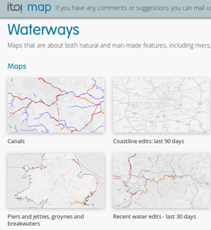
- ITO World maps of water features.
- Quality Assurance tools:
- There are many waterways tagged with source=npe. This is a historic map and the detail tends to be quite poor. You can find these waterways by running this script.
Previous projects
See the list of UK Quarterly Projects
