User:Han013/Bezau
Collaboration between Landesvermessungsamt Vorarlberg and me
In spring 2007 I received shapefiles of the streets and an orthorectified aerial photograph of my home-village from the land surveying office of the province of Vorarlberg (Austria; "Vorarlberger Landesvermessungsamt"). I got it for free and with the explicit permission to publish it at osm provided that I give back to them any alterations/corrections.
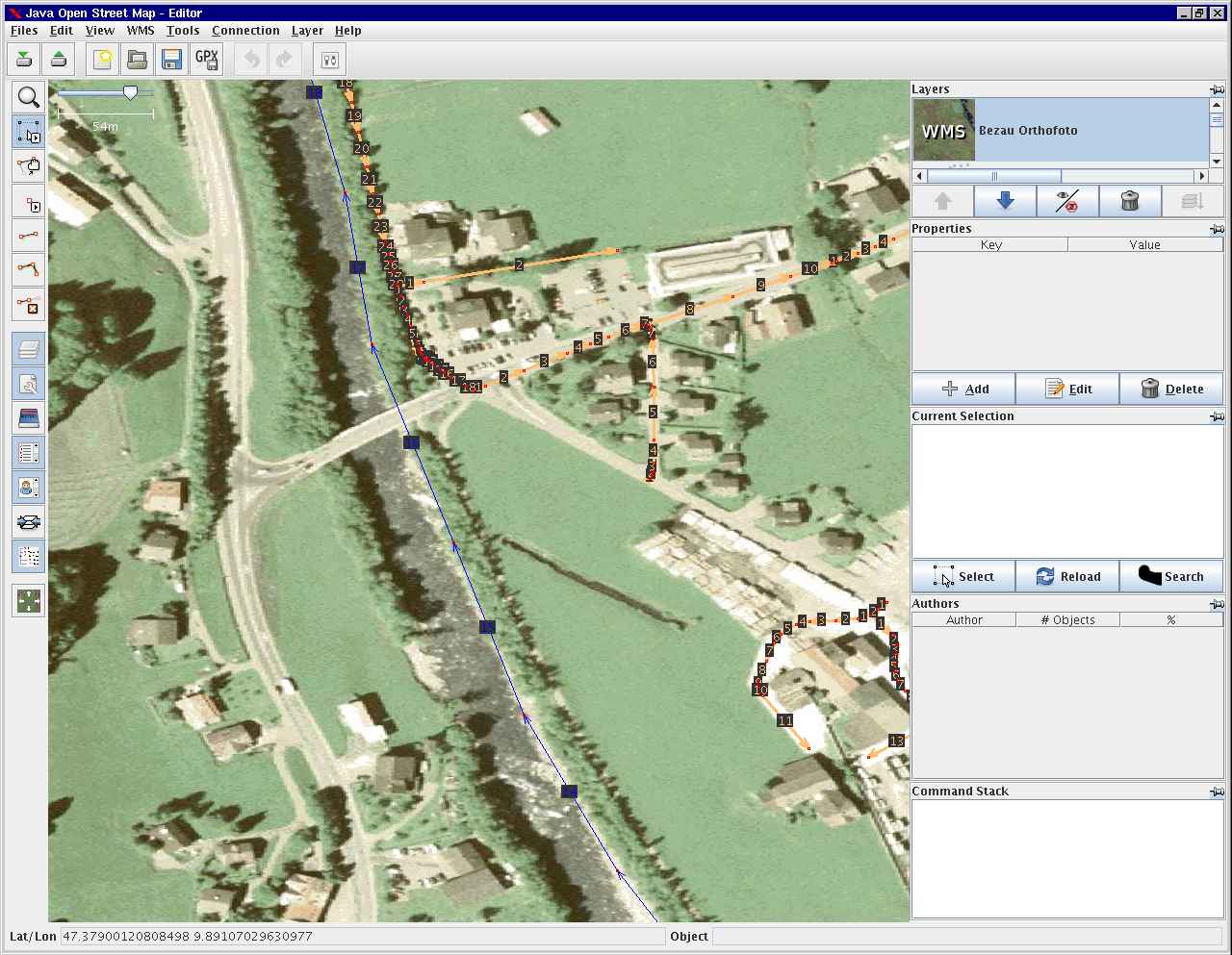
With the help of a perl-script from Gabriel Ebner I managed to convert the shapefiles to an osm-xml-file to open it with JOSM. Using mapserver and the WMS-plugin of JOSM I was able to use the aerial photograph as background image. See screenshot:
Summer 2008
After checking and editing the street-data from the shapefiles (and a long pause) I am now using the aerial photograph and my local knowledge to enter POIs, footways, buildings, housenumbers, etc.
