User:Petrovsk/My Garmin map styles
The typical set-up for a custom Garmin map is the use of three different layers (of unique family-id, see this page (in french) for more details), made with Mkgmap: contour lines relief layer, routing layer and the basemap.
You'll find here the layer styles I made with the ressources (style and TYP files) needed.
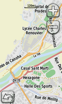
Maps should be rendered accurately on Colorado/Oregon/Dakota generation handhelds and following. Previous generations (eTrex...) use a limited color palette and may have a quite random rendering, with high risk of ugly map.
Screen captures were made with an Oregon 300.
Relief
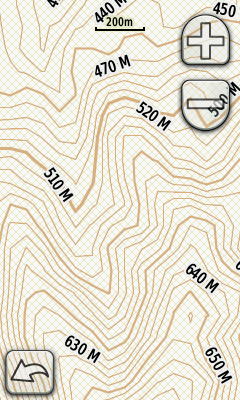
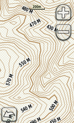
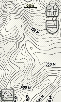
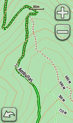
How-to on this page (in french). The mkgmap default style contains rules for displaying contour lines, the TYP file (with family-id=44) defines their colours. Three shades are available: light brown, dark brown and dark gray.
TYP files: 44-contours-brown-l.TYP | 44-contours-brown-d.TYP | 44-contours-gray.TYP
Routing
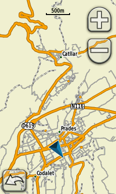
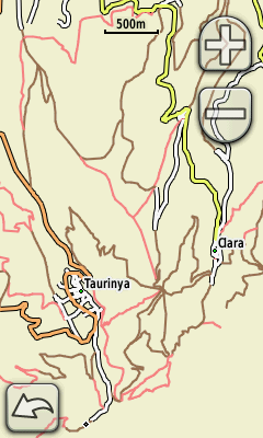
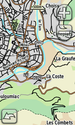
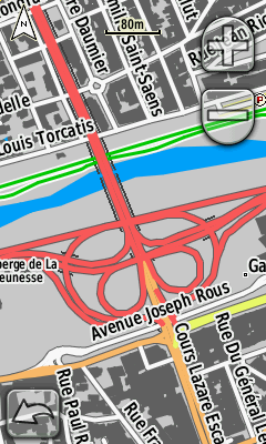
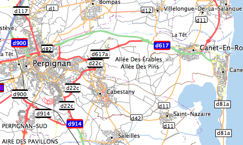
A routing layer (link in french) is not meant to be visible but stay behind the basemap, its appearence doesn't need to be modified (left image). However, if we want to use this simplified map as main map, a TYP file can give the map the look on the right.
This TYP file only applies to layers with family-id=43, ways are colored like this:
- Motorways in blue
- Trunks in green
- Primary roads in red
- Secondary roads in orange
- Tertiary roads in yellow
- Minor roads (unclassified, residential, service) in white
- Tracks in brown
- Paths in pink
Style: routage.zip
TYP file: 43-routing.TYP
Geodesic
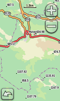
This layer only displays man_made=survey_point tagged points, and only those with an altitude set.
Basemap style is P-Map.
Style: geodesie.zip
Mapnik
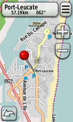
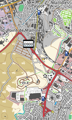
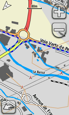
Pseudo-mapnik style wanting to look like OpenStreetMap's main map. There are no bridges nor tunnels, two versions are given: with or without POIs as my handheld GPS displays its own icons above those from the map.
No routing
Style: mapnik.zip
TYP files: mapnik.TYP | mapnik_no_poi.TYP
ClearMap
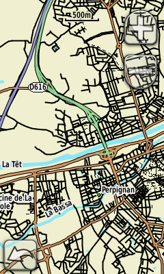
ClearMap is a style inspired by Ollie O’Brien maps, themselves inspired by orienteering maps. There are no POIs (out of cities).
These maps are better intended for pedestrian use, the slimness of lines making it not so readable in a car or on a bike.
No routing
- Motorways in blue
- Trunks in green
- Primary and secondary roads in orange
- Tertiary, unclassified, residential, and service way in plain black
- Carriage-roads (mostly unpaved) in plain gray
- Hiking paths, cycleways and living streets in black dashed line
- Airport runways in gray
- Railways in black and white
- Rivers in light blue
The only polygons displayed are water surfaces (light blue).
Style: clearmap.zip
TYP file: clearmap.TYP
ClearMap2
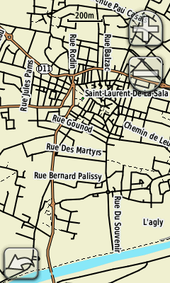
This version adds to Clearmap various landuses:
- Urban areas (residential, industrial, commercial) in purple gray
- Military areas in pink
- Quarries in light brown with darker squares
- Agricultural land (farms, vineyards, orchards) in pinky brown
- Meadows and parks in light green
- Scrub and heath in light green with darker squares
- Forests in dark green
- Glaciers in blue gray
- Wetlands in blue gray hatching
No routing
Style: clearmap2.zip
TYP file: clearmap2.TYP
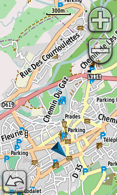
P-Map
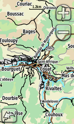
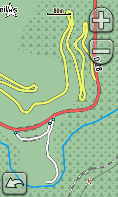
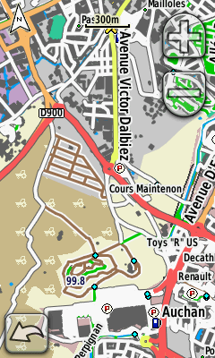
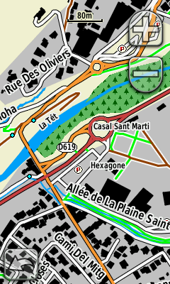
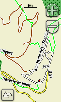
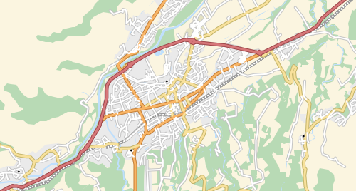
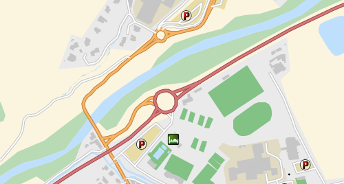
P-Map is my main map style. Ways are thick and colourful to be easily readable in a car on on a bike, emphasis has been given to tracks and paths, useful in hiking and MTB rides.
p-map is made for GPS navigators while p-map-bc is for BaseCamp or Mapsource.
Routable style
Lines
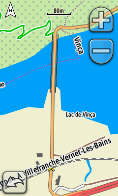
- Black encasing for bridges, gray dashed encasing for tunnels
- Motorways in blue
- Trunks in green
- Primary roads in red
- Secondary roads in orange
- Tertiary roads in yellow
- Minor roads (unclassified, residential, service) in white
- Tracks (mostly unpaved) in dashed brown with white border
- Paths, cycleways and living streets in bright dashed green with white border
- Railways in black and white
- Airport runways and unknown roads (highway=road) in gray
- Power lines are slim gray lines
- Pipe-lines and penstocks in dark red
- Administrative boundaries in dashed purple
Points
- Cities, towns, suburbs, villages, hamlets, localities
- Barriers, motorway exits, car parks, gas stations
- Mountains passes, peaks, springs, caves
- Bus stops, bus and train stations, level crossings, places of worship and hospitals
- Shelters and alpine huts, view points, towers, lighthouses, wind turbines
Polygons
- Sea, lakes and wetlands (swamps and salt ponds)
- Meadows, scrub, forest, parks
- Cultivated land, quarry, beach, glaciers
- Residential, commercial, industrial or military areas, airports, cemeteries and sports centers, car parks, camp sites and buildings
p-map-bc (on the right) style is optimized for BaseCamp, lines are finer, surfaces less colored.
Style: p-map.zip
GPS navigator TYP file: p-map.TYP
Desktop TYP file: p-map-bc.TYP
Osma11
Style based on level 11 Osmarender former rendering. Osmarender gave at low scales a good view of the level of mapping of an area. Given its particularities (thin lines, no surfaces except water), it is to be used in MapSource or BaseCamp better than on a handheld.
No routing.
Lines
- Motorways in blue
- Trunks in green
- Primary roads in red
- Secondary roads in orange
- Tertiary roads in yellow
- Unclassified and residential ways in white
- Unknown roads in dark gray (larger)
- Tracks in brown
- Paths in pink
- Railways in black
- Airport runways in gray
- Rivers, streams and canals in blue
- Administrative boundaries (admin-level=8) in purple
Points
- Cities and villages
- Stations and motorway exits
- Peaks
Polygons
- Sea
- Lakes
- Riverbanks
Style: osma11.zip
TYP file: osma11.TYP
HC-Map
HC-Map is meant to be simple and readable. Bright colors were chosen to allow use in sunlight, with no screen backlight.
Routable style
Lines
- Motorways in blue, thick black border
- Trunks in green, thick black border
- Primary roads in red, fine black border
- Secondary roads in orange, fine black border
- Tertiary roads in yellow, fine black border
- Unclassified, residential, service, roundabouts in white, thin black border
- Tracks in brown, white border
- Paths in green, white border
- Rivers and canals: thick blue line, no border
- Streams and drains: thin blue line, no border
- Railways in black and white
- Airport runways in gray
- Ferries in dashed white line
- International boundaries in purple dashes
Points
- Cities, towns, suburbs, villages, hamlets, localities
- Barriers, motorway exits, car parks, gas stations
- Mountains passes, peaks, springs, caves
- Bus and train stations, level crossings, places of worship and hospitals
- Shelters and alpine huts, view points, towers, lighthouses, wind turbines
Polygons
- Water in blue
- Buildings in black
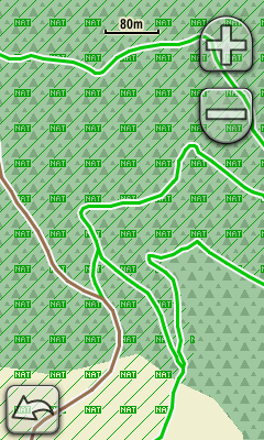
- Forests in green with dark trees
- Urban areas in dark gray
- Military zones with red overlay (MIL)
Style: hc-map.zip
TYP file: hc-map.TYP
Bike
This layer (to be added to a basemap), displays cycleways and route relations (bike and MTB). Its a family-id=45 TYP file.
No routing
This style displays in green encasing the MTB route relations, in blue hatching the bike routes relations, cycleways, cycle lanes and shared ways.
Style: bike.zip
TYP file: 45-bike.TYP
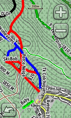
Winter sports
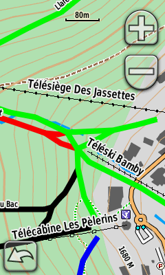
This layer (to be added to a basemap) displays ways and places where to practice winter sports: skiing and snow-shoes. Its a family-id=45 TYP file. Ski resorts, downhill and nordic pistes, various ski lifts and snowshoeing tracks are shown.
No routing
- Downhill pistes are represented following their difficulty (green, blue, red, black), freeride in orange. Pistes with no difficulty are in purple.
- Nordic pistes share the same difficulty representation, encased in yellow.
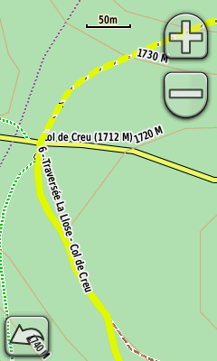
- Snowshoes tracks not groomed are in dashed yellow, groomed ones have continuous border.
- Ski lifts include cable cars and gondolas (squares), chair lifts (diamonds) and t-bar lifts (dashed line).
Pistes can be seen on OpenPisteMap.
Garmin map of ski resorts are also available on Skidea.
Style: ski.zip
TYP file: 45-ski.TYP
Roadquest
This style is base upon the soft Open MapQuest maps style. I use it in BaseCamp and in my navigator's automobile mode.
Routable style
- Motorways in blue
- Trunks in green, primaries in red
- Secondaries in orange
- Tertiaries in yellow, minor roads in white
- Tracks in long orange dashes, paths in short orange dashes
- Cycleways in long dark blue dashes
- Railways in gray dots
- Airport runways, rivers/streams/canals, borders (admin-level 2, 4 and 6)
Points, using default icons, include:
- Cities, towns, villages, hamlets
- Peaks, hostels, hospitals, car parks, fuel stations
- Stations and various barriers
Polygons:
- Airports and terminals
- Residential, commercial and industrial areas
- Woods and forests
- Sports centres, city parks
- Schools, hospitals, cemeteries, car parks
- Buildings and water areas
Style: roadquest.zip
TYP file: roadquest.TYP
