User:Use-it/Map of Copenhagen for Young Travellers
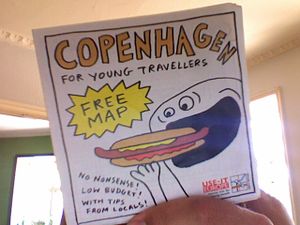
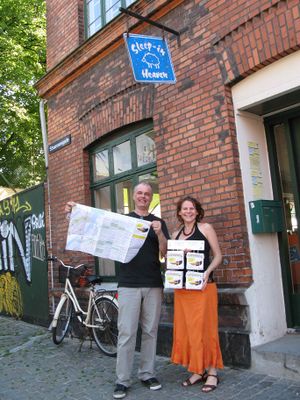
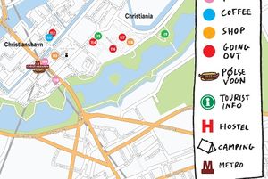
USE-IT makes tourist info for young people who are travelling on a low budget. USE-IT guides, maps and websites are made by locals, are not-commercial, free, no-nonsense and up-to-date. For the first time we have produced a printed map (the Map of Copenhagen for Young Travellers) that is based upon OSM-data. The size is 40,5 x 67,5 cm, two sided full colour print, folded to a square. There is no advertisement on the map. We have printed 50,000 copies that are distributed for free, at all the hostels of Copenhagen. On the map, you will find descriptions of 120 places in town: museums, pubs, cheap restaurants, 'pølsevogne', clubs, and, say, a second hand store with an affordable outfit for going out tonight. A difference with nearly all other tourist information sources is that the information comes exclusively from locals, that all USE-IT maps are completely revised every year, and that nobody pays to be on a USE-IT map: the editorial staff is completely independent and selects the locations on the sole basis of their relevance to the target group: individual young travellers.
Map of Copenhagen
- a digital version of the Map can be found on the website of USE-IT Europe: http://www.use-it.info
- here's the EPS-version of the map we made: http://www.use-it.be/europe/docs/080727map_cph.eps
Create your own maps using OpenStreetMap
We have been through the whole process, from tracking some missing streets with a GPS-tracker (assisted by User:Nikolaj) to printing the map itself. This is a tutorial how we finally succeeded in turning OSM-data into a printed map: http://www.use-it.be/europe/docs/OSMmanual/


