File:Bsp gem rad ausser.jpg
Jump to navigation
Jump to search

Size of this preview: 800 × 600 pixels. Other resolutions: 320 × 240 pixels | 640 × 480 pixels | 1,024 × 768 pixels.
Original file (1,024 × 768 pixels, file size: 92 KB, MIME type: image/jpeg)
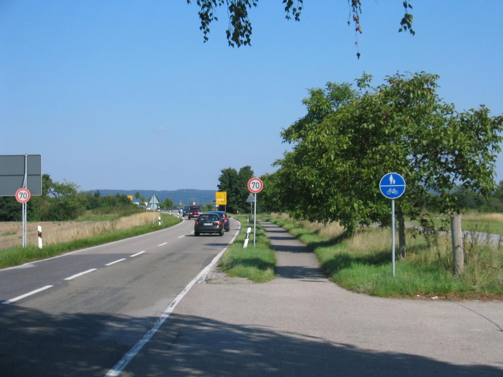
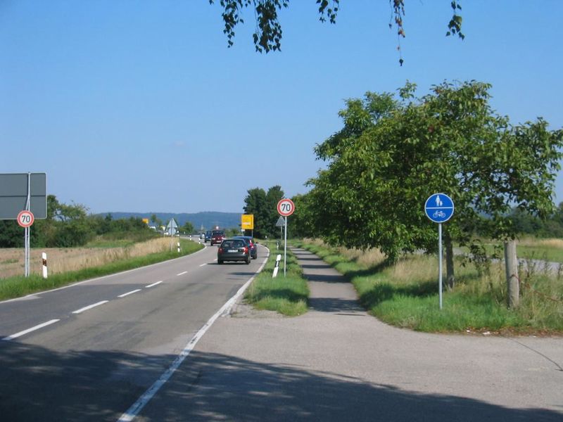
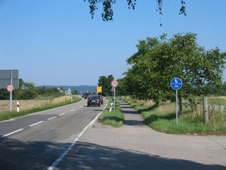
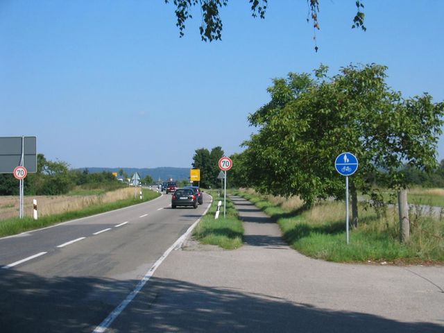
De: Bsp. für Radwege: "gemeinsamer Geh-/Radweg außerorts", En: example for cycleways: "bicycles/pedestrians mixed rural"
Source: own photography
License: CC-BY-NC-SA
Place: south of Friedrichstal
![]()
![]()
![]()
![]()
This work is licensed under the Creative Commons Attribution-NonCommercial-ShareAlike 2.0 License.
Attribution: Mueck (assumed)
Commercial use is excluded!
Please avoid use of media with "NonCommercial" license!
Attribution: Mueck (assumed)
Commercial use is excluded!
Please avoid use of media with "NonCommercial" license!
File history
Click on a date/time to view the file as it appeared at that time.
| Date/Time | Thumbnail | Dimensions | User | Comment | |
|---|---|---|---|---|---|
| current | 11:23, 8 September 2008 | | 1,024 × 768 (92 KB) | Mueck (talk | contribs) | De: Bsp. für Radwege: "gemeinsamer Geh-/Radweg außerorts", En: example for cycleways: "bicycles/pedestrians mixed rural" Source: own photography License: CC-BY-NC-SA |
You cannot overwrite this file.
File usage
There are no pages that use this file.