File:Flag of Ghana.svg
Jump to navigation
Jump to search

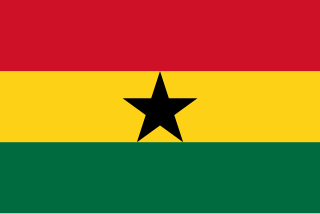
Size of this PNG preview of this SVG file: 800 × 533 pixels. Other resolutions: 320 × 213 pixels | 640 × 427 pixels | 1,024 × 683 pixels | 1,280 × 853 pixels.
Original file (SVG file, nominally 900 × 600 pixels, file size: 255 bytes)
This file and its description are from Wikimedia Commons.
Summary
| Description |
Cymraeg: Baner Ghana Deutsch: Die Flagge Ghanas English: Flag of Ghana Español: Bandera de Ghana Esperanto: Flago de Ganao Français : Drapeau du Ghana Gaeilge: Bratach Ghána Gàidhlig: Bratach Ghàna Igbo: Flag ndi Ghana Italiano: Bandiera del Ghana Kernowek: Baner Ghana Suomi: Ghanan lippu Svenska: Ghanas flagga Wolof : Raaya bu Gana Yorùbá: Àsìá ilẹ̀ Ghana 한국어: 가나의 국기 العربية : علم غانا |
|||
| Date | ||||
| Source | Republic of Ghana | |||
| Author | See File history below for details. | |||
| Permission (Reusing this file) |
|
|||
| SVG development | This flag was created with a text editor. |

Licensing
| This image of simple geometry is ineligible for copyright and therefore in the public domain, because it consists entirely of information that is common property and contains no original authorship. |  |

|
This image shows a flag, a coat of arms, a seal or some other official insignia. The use of such symbols is restricted in many countries. These restrictions are independent of the copyright status. |
| This work is ineligible for copyright and therefore in the public domain because it consists entirely of information that is common property and contains no original authorship. |
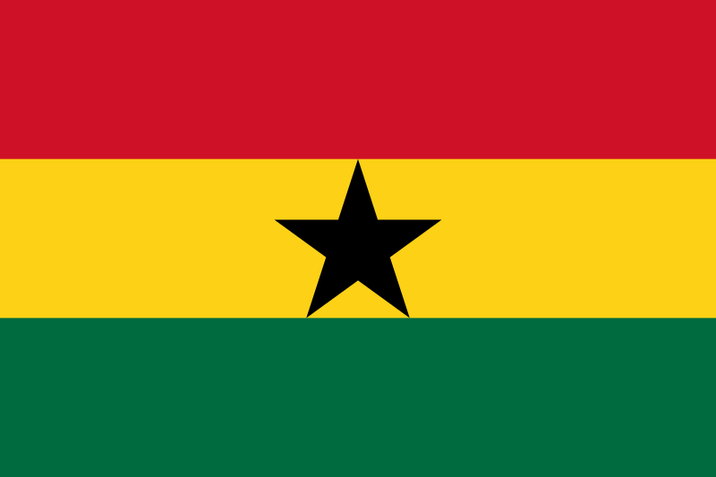
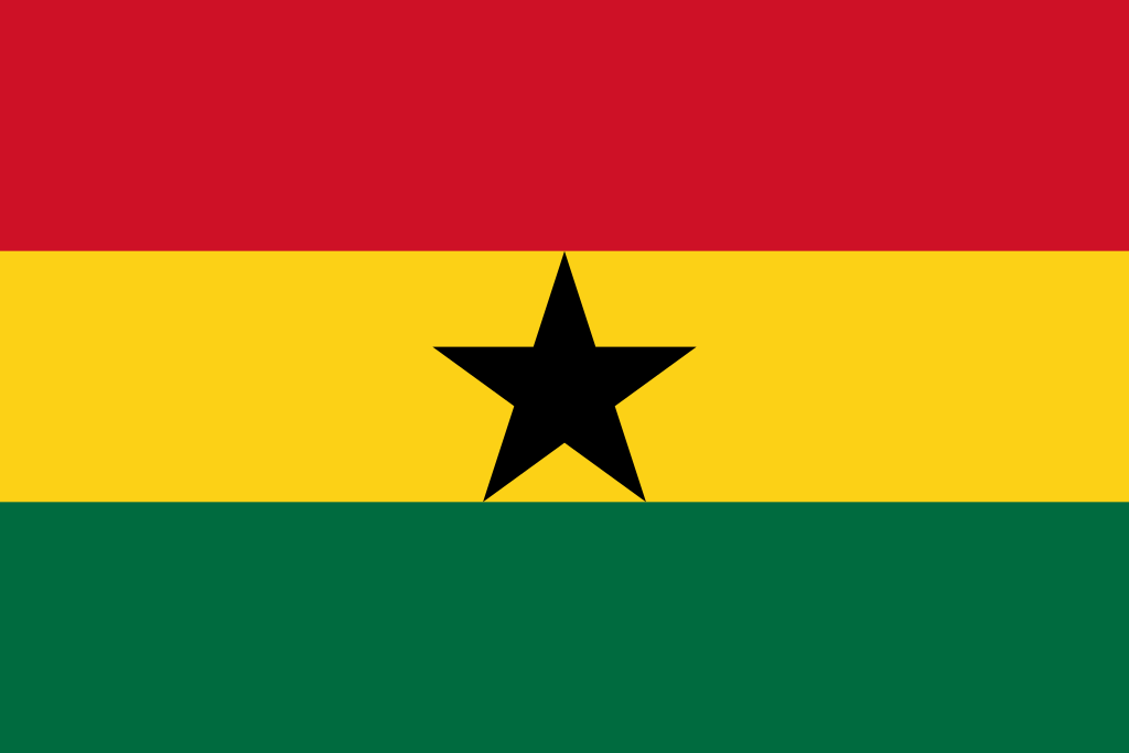
The colours green, yellow and red originated from the Ethiopian flag. Permission was asked from the late Emperor Haille Selassie in if the colours could be used, it was replied yes but as long as the colours were put the other way round as to the Ethiopian flag (green yellow red).
File history
Click on a date/time to view the file as it appeared at that time.
| Date/Time | Thumbnail | Dimensions | User | Comment | |
|---|---|---|---|---|---|
| current | 18:39, 15 June 2024 | | 900 × 600 (255 bytes) | wikimediacommons>Colohisto | Removed extra line |
File usage
The following 24 pages use this file:
- Africa
- Ar:إفريقيا
- Cs:Tag:route=train
- Default speed limits
- Foundation/Local Chapters
- List of OSM centric Telegram accounts
- List of territory based projects
- OpenStreetMap 15th Anniversary Birthday party
- Past Events 2015
- Past Events 2017
- Pt:Tag:boundary=administrative
- Tag:boundary=administrative
- Tag:route=train
- Tzm:ⵟⴰⴼⵔⵉⴽⵜ
- Zh-hans:List of territory based projects
- User:Skippern/World
- Template:Admin level
- Template:Countries of Africa
- Template:FR:Admin level
- DE:Foundation/Local Chapters
- FR:Key:admin level
- ES:Tag:route=train
- JA:OpenStreetMap 15th Anniversary Birthday party
- Proposal:Use description instead of name for route relations