File:K9652f.jpg
Jump to navigation
Jump to search
Size of this preview: 800 × 415 pixels. Other resolutions: 320 × 166 pixels | 640 × 332 pixels | 1,094 × 568 pixels.
Original file (1,094 × 568 pixels, file size: 84 KB, MIME type: image/jpeg)
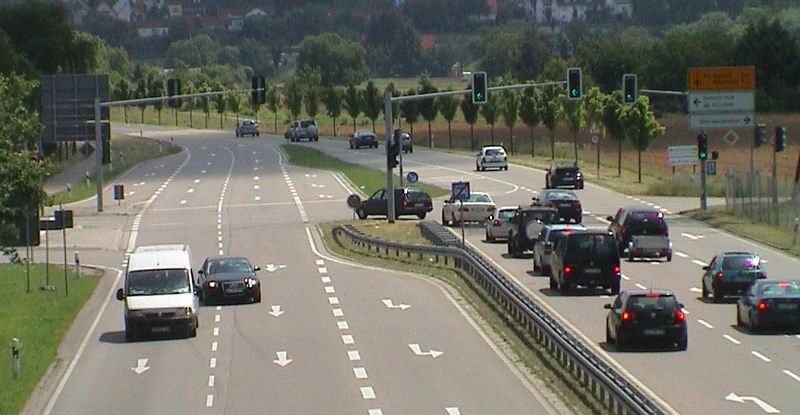
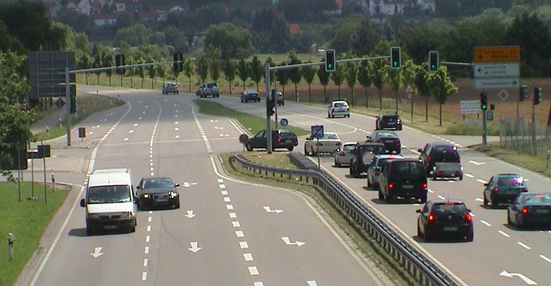
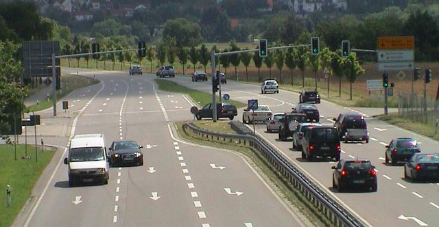
De: Bsp. für Straßenklassifizierung: B 3 neu (ex-Kreisstraße 9652) Kreuzung Fiduciastr. En: example for highway tags
Source: own photography 2009-06-18
License: CC-BY-NC-SA
Place: K 9652 Karlsruhe-Aue Fiduciastr.
- http://www.openstreetmap.org/?lat=48.987008&lon=8.446162&zoom=18&layers=B000FTF
- http://ka.stadtwiki.net/K_9652 http://ka.stadtwiki.net/B_3
![]()
![]()
![]()
![]()
This work is licensed under the Creative Commons Attribution-NonCommercial-ShareAlike 2.0 License.
Attribution: Mueck
Commercial use is excluded!
Please avoid use of media with "NonCommercial" license!
Attribution: Mueck
Commercial use is excluded!
Please avoid use of media with "NonCommercial" license!
File history
Click on a date/time to view the file as it appeared at that time.
| Date/Time | Thumbnail | Dimensions | User | Comment | |
|---|---|---|---|---|---|
| current | 15:23, 18 June 2009 | | 1,094 × 568 (84 KB) | Mueck (talk | contribs) | De: Bsp. für Straßenklassifizierung: B 3 neu (ex-Kreisstraße 9652) Kreuzung Fiduciastr. En: example for highway tags Source: own photography 2009-06-18 License: CC-BY-NC-SA Place: K 9652 Karlsruhe-Aue Fiduciastr. :http://www.openstreetmap.org/?lat=4 |
You cannot overwrite this file.
File usage
The following page uses this file: