File:Ka-mapping-2.png
Jump to navigation
Jump to search

No higher resolution available.
Ka-mapping-2.png (684 × 599 pixels, file size: 344 KB, MIME type: image/png)
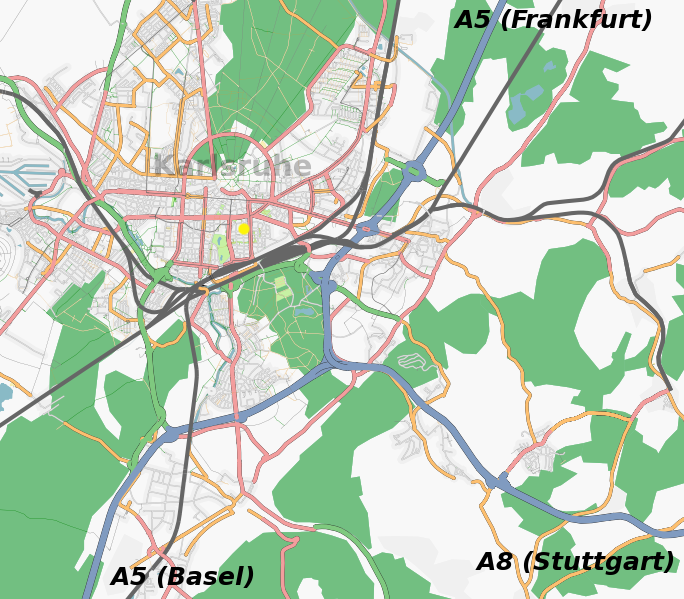
karlsruhe mapping party location overview
Licensing
![]()
Contains map data © OpenStreetMap contributors, made available under the terms of the Creative Commons Attribution-ShareAlike 2.0 (CC-BY-SA-2.0).
File history
Click on a date/time to view the file as it appeared at that time.
| Date/Time | Thumbnail | Dimensions | User | Comment | |
|---|---|---|---|---|---|
| current | 00:46, 6 March 2007 | | 684 × 599 (344 KB) | Frederik Ramm (talk | contribs) | karlsruhe mapping party location overview |
You cannot overwrite this file.
File usage
The following 2 pages use this file: