File:Landkreis Bad-Doberan history.gif
Jump to navigation
Jump to search

No higher resolution available.
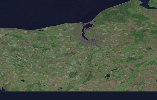
Landkreis_Bad-Doberan_history.gif (640 × 410 pixels, file size: 258 KB, MIME type: image/gif, 46 frames, 46 s)
- current state: 01/15/2008
- settings: bbox: 53.7000,11.5000,54.3000,12.7000
- date range: earliest to latest
- background: landsat
- created with: http://wiki.openstreetmap.org/index.php/Historical_Coverage
File history
Click on a date/time to view the file as it appeared at that time.
| Date/Time | Thumbnail | Dimensions | User | Comment | |
|---|---|---|---|---|---|
| current | 10:06, 28 November 2009 | | 640 × 410 (258 KB) | !i! (talk | contribs) | http://labs.geofabrik.de/history/?label=Landkreis%20Bad%20Doberan&user=!i!&minlat=53.842&minlon=11.687&maxlat=54.291&maxlon=12.453&projection=1&bgimage=2&width=640&pixel=1&color=0&fromdate=0&todate=999999&frequency=30&delay=100&loopflag=&form=1 |
| 20:32, 15 January 2008 | 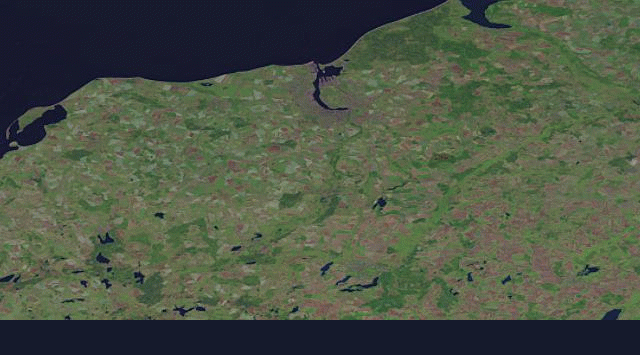 | 640 × 355 (177 KB) | Larskr (talk | contribs) | * current state: 01/15/2008 * settings: bbox: 53.7000,11.5000,54.3000,12.7000 * date range: earliest to latest * background: landsat * created with: http://wiki.openstreetmap.org/index.php/Historical_Coverage |
You cannot overwrite this file.
File usage
The following page uses this file: