File:MITCampusMap.jpg
Jump to navigation
Jump to search


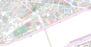
Size of this preview: 800 × 414 pixels. Other resolutions: 320 × 166 pixels | 640 × 331 pixels | 1,200 × 621 pixels.
Original file (1,200 × 621 pixels, file size: 168 KB, MIME type: image/jpeg)
Summary
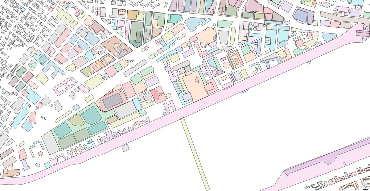
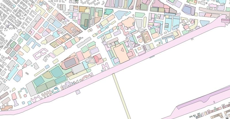
Colorful exploration of buildings data from OpenStreetMap. Produced by Curran Kelleher: https://datavis.tech/vis/2b0c1eb91bcd4e54b2d24aeb777740de
This is a Featured image, which means that it has been identified as one of the best examples of OpenStreetMap mapping, or that it provides a useful illustration of the OpenStreetMap project. If you know another image of similar quality, you can nominate it on Featured image proposals.
Front-page image for week 10 of 2018 (5–11 Mar.).
- Image descriptions
- Deutsch : Farbenfrohe Darstellung von Gebäudedaten aus OpenStreetMap auf dem MIT Campus in Cambridge, Massachusetts, USA. Die Karte wurde erstellt von Curran Kelleher [1].
- English : Colorful exploration of OpenStreetMap buildings data on the MIT Campus in Cambridge, Massachusetts, United States. Map produced by Curran Kelleher [2].
- français : Exploration en couleurs des données OpenStreetMap des bâtiments au campus du MIT à Cambridge, Massachusetts (États-Unis). Carte produite par Curran Kelleher [3].
- italiano : Esplorazione a colori dei dati degli edifici nel campus del MIT a Cambridge, Massachusetts (Stati Uniti). Mappa prodotta da Curran Kelleher [4].
- 中文(简体) : 美国麻塞诸塞州剑桥一带开放街图建筑资料彩色式的探险。地图由 Curran Kelleher [5] 制作。
- 中文(繁體) : 美國麻塞諸塞州劍橋一帶開放街圖建築資料彩色式的探險。地圖由 Curran Kelleher [6] 製作。
Licensing
| Contains map data © OpenStreetMap contributors, made available under the terms of the Open Database License (ODbL).
The ODbL does not require any particular license for maps produced from ODbL data, produced maps may be subject also to other licences. |
File history
Click on a date/time to view the file as it appeared at that time.
| Date/Time | Thumbnail | Dimensions | User | Comment | |
|---|---|---|---|---|---|
| current | 15:41, 23 February 2018 | | 1,200 × 621 (168 KB) | Wille (talk | contribs) | Colorful exploration of buildings data from OpenStreetMap. Produced by Curran Kelleher: https://datavis.tech/vis/2b0c1eb91bcd4e54b2d24aeb777740de |
You cannot overwrite this file.
File usage
The following 10 pages use this file:
- Featured images/Jan-Mar 2018
- List of featured images/2018
- Zh-hans:Featured images/Jan-Mar 2018
- Zh-hant:Featured images/Jan-Mar 2018
- Template:Iotw image/2018-10
- DE:Featured images/Jan-Mar 2018
- FR:Featured images/Jan-Mar 2018
- ES:Featured images/Jan-Mar 2018
- IT:Featured images/Jan-Mar 2018
- JA:Featured images/Jan-Mar 2018