File:Mapping Dahlener Heide.JPG
Jump to navigation
Jump to search

No higher resolution available.
Mapping_Dahlener_Heide.JPG (480 × 360 pixels, file size: 44 KB, MIME type: image/jpeg)
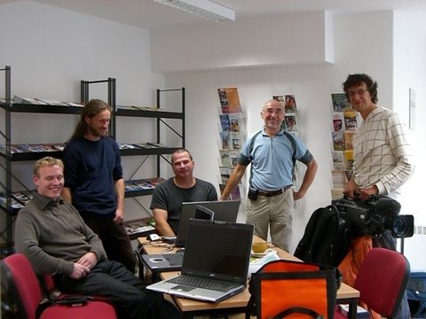
User Teddy80, BearBel, Lutz, Radler59 und Fahrradfahrer beim Erfahrungsaustausch
File history
Click on a date/time to view the file as it appeared at that time.
| Date/Time | Thumbnail | Dimensions | User | Comment | |
|---|---|---|---|---|---|
| current | 07:00, 4 October 2009 | | 480 × 360 (44 KB) | Lutz (talk | contribs) | User Teddy80, BearBel, Lutz, Fahrradfahrer und Radler59 beim Erfahrungsaustausch |
You cannot overwrite this file.
File usage
The following page uses this file: