File:Mapping mv 2 - Grevesmühlen before.png
Jump to navigation
Jump to search

Size of this preview: 749 × 599 pixels. Other resolutions: 300 × 240 pixels | 600 × 480 pixels | 960 × 768 pixels | 1,242 × 994 pixels.
Original file (1,242 × 994 pixels, file size: 208 KB, MIME type: image/png)
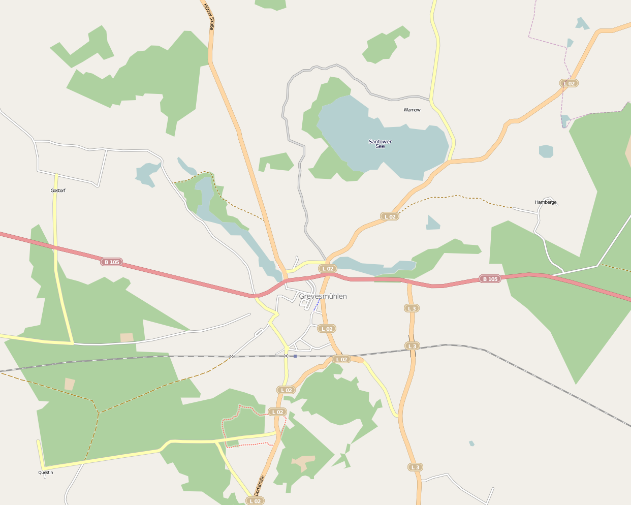
Ausgangssituation in Grevesmühlen vor der 2. MV Mapping Party
Licensing
![]()
![]()
![]()
This screenshot contains OpenStreetMap Carto rendering.
The OpenStreetMap Carto map style is made available under the Creative Commons CC-0 1.0 Universal Public Domain Dedication.
- Attribution to the map data:
![]()
Contains map data © OpenStreetMap contributors, made available under the terms of the Creative Commons Attribution-ShareAlike 2.0 (CC-BY-SA-2.0).
File history
Click on a date/time to view the file as it appeared at that time.
| Date/Time | Thumbnail | Dimensions | User | Comment | |
|---|---|---|---|---|---|
| current | 19:40, 7 September 2009 | | 1,242 × 994 (208 KB) | !i! (talk | contribs) | Ausgangssituation in Grevesmühlen vor der 2. MV Mapping Party |
You cannot overwrite this file.
File usage
The following page uses this file: