File:OSMBuildings sketch style.png
Jump to navigation
Jump to search

No higher resolution available.
OSMBuildings_sketch_style.png (683 × 515 pixels, file size: 287 KB, MIME type: image/png)
Summary
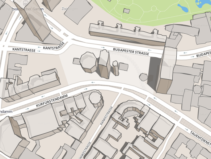
OSMBuildings sketch style. See this on the dynamic map at: http://osmbuildings.org/sketch/?lat=52.50497&lon=13.33483&z=17
Licensing
![]()
![]()
![]()
This work is licensed under the Creative Commons Attribution-ShareAlike 2.0 License.
Attribution not specified as a parameter! THIS LICENSE ALWAYS REQUIRES ATTRIBUTION! Use {{CC-BY-SA-2.0|Attribution, typically name of author}} See Template:CC-BY-SA-2.0 for full description how this template should be used.
Note, there is
There is also
Attribution not specified as a parameter! THIS LICENSE ALWAYS REQUIRES ATTRIBUTION! Use {{CC-BY-SA-2.0|Attribution, typically name of author}} See Template:CC-BY-SA-2.0 for full description how this template should be used.
Note, there is
{{CC-BY-SA-2.0 OpenStreetMap}} for files based on old OSM map data, before the license change made on 2012-09-12.There is also
{{OSM Carto screenshot||old_license}} for files based on old OSM map data, before the license change made on 2012-09-12, created using OSM Carto map style.
| Contains map data © OpenStreetMap contributors, made available under the terms of the Open Database License (ODbL).
The ODbL does not require any particular license for maps produced from ODbL data, produced maps may be subject also to other licences. |
File history
Click on a date/time to view the file as it appeared at that time.
| Date/Time | Thumbnail | Dimensions | User | Comment | |
|---|---|---|---|---|---|
| current | 00:49, 18 July 2013 | | 683 × 515 (287 KB) | Harry Wood (talk | contribs) | OSMBuildings sketch style. See this on the dynamic map at: http://osmbuildings.org/sketch/?lat=52.50497&lon=13.33483&z=17 |
You cannot overwrite this file.
File usage
The following 4 pages use this file: