File:Wansbeck.png
Jump to navigation
Jump to search

Size of this preview: 800 × 561 pixels. Other resolutions: 320 × 224 pixels | 640 × 449 pixels | 893 × 626 pixels.
Original file (893 × 626 pixels, file size: 429 KB, MIME type: image/png)
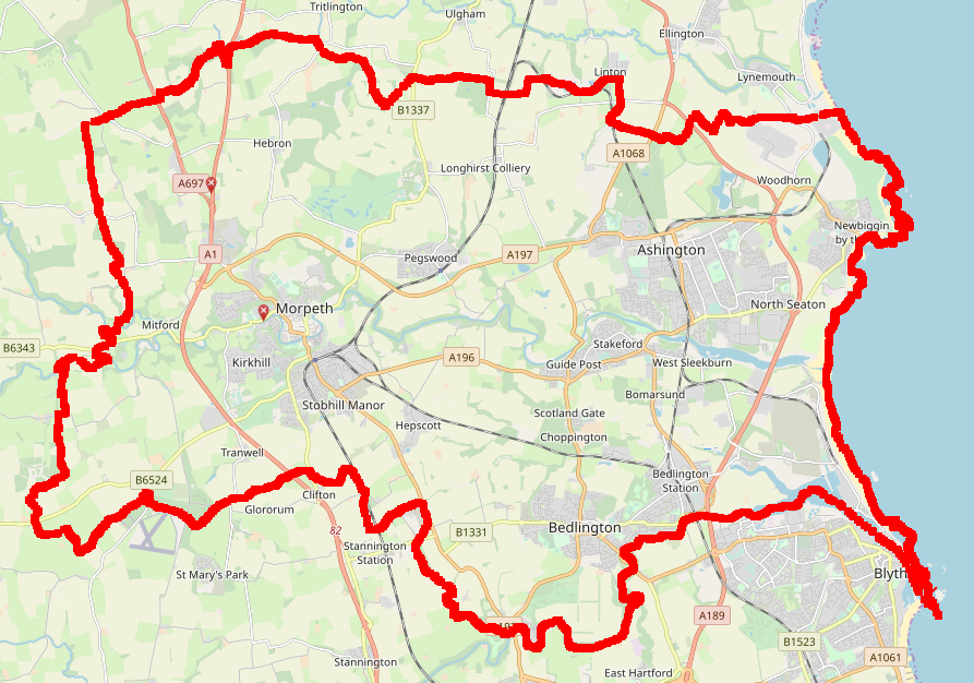
OpenStreetMap showing Wansbeck Parliament constituency in Northumberland, as of August 1st 2019. This screenshot was taken using JOSM (scale set to 3km) and displays a polygon layer from ONS.
File history
Click on a date/time to view the file as it appeared at that time.
| Date/Time | Thumbnail | Dimensions | User | Comment | |
|---|---|---|---|---|---|
| current | 09:55, 1 August 2019 | | 893 × 626 (429 KB) | LastGrape (talk | contribs) |
You cannot overwrite this file.
File usage
The following page uses this file: