JOSM/Plugins/DXF import
Introduction
DXFImport PlugIn allows you to import any DXF format file (Drawing Exchange Format) into JOSM.
Summary
Using this plugin, you are able to import any locally stored DXF files into JOSM, but you have to import the file into an existing Layer in JOSM. If there's not one created, the plugin will alert you.
Source code and issue tracking are maintained at https://github.com/asrianCron/Dxf-Import
Details
Import the dxf file is easy, all you need to do is:
- if there is no layer created yet, select File -> Create Layer . This will create a blank layer that you can edit
- select File -> Open, then navigate to your file, select it and click the "Open" button
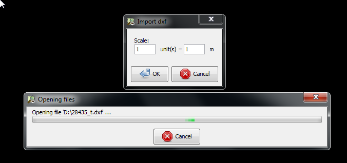
- a new dialog will appear, asking you to set the scale of the imported file. You can leave this unmodified, the default is 1 Meter per unit.Setting more meters will increase the size of your data. Select "OK".
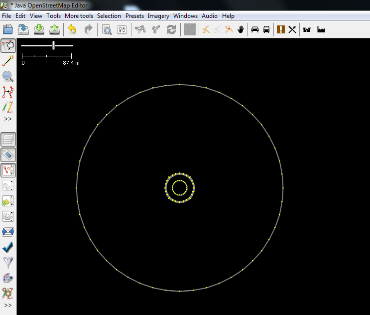
Importing of the file will take anywhere from a few seconds to a few minutes, depending on the size of DXF file, and your pc. The data is initially placed centrally on the visible layer. You can move and resize it accordingly, add tags and other. You can find a dxf example
Upload / Export
JOSM imports the data as if you had drawn new nodes and ways. You can click "Upload" to send the data to the OSM database. Don't do this if you're playing/messing around. Also, follow OSM norms before uploading data. You can save what you imported as an .osm file.

