JOSM/Plugins/measurement
The JOSM measurement plugin lets you measure lengths and areas of selected data elements.
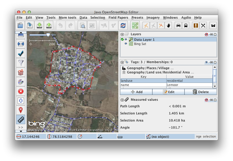
When the measurement plugin is loaded there should be a ruler symbol on the left side of the screen. Clicking on it switches on (and off) the measurement panel on the right side.
To get the length and area of one or more objects in the active data layer just select them and find the values in the measurement panel.

To measure the distance between any two points, click on the symbol with the hand and the tape on the left side of josm. It is similar to the select symbol. The cursor changes to a cross, indicating measuring mode. Draw a way in the measurement layer by clicking on at the start and the end point. A measurement layer is opened upon the first click and a straight line is drawn between the two points. Click on the Ruler Icon in the lower left hand corner of josm (Or Press ALT+W) to display the measurement panel which will display the length of the way in the Path Length Column. You can add more segments to the way. The total length is shown in the measurement window.
Clicking Reset in the measurement window clears the measurement layer.