OSM Map On Garmin/mtb map
Jump to navigation
Jump to search
Download
To download readymade Mountainbike maps visit http://openmtbmap.org
Creating a topographical Mtb Map for Garmin Mapsource
Process is described here. render openmtbmap with mkgmap
Prerequisites
- Mkgmap newest version
- mkgmap splitter newest version
- Java 1.6
- For Contourlines SRTM2OSM
- Mapsettoolkit to write registry values for Garmin Mapsource
- OSM File (I use the country dumps from geofabrik)
Change Output
- If you want to edit your typfile you can either edit directly in text and then compile, use Maptk.
Compatibility
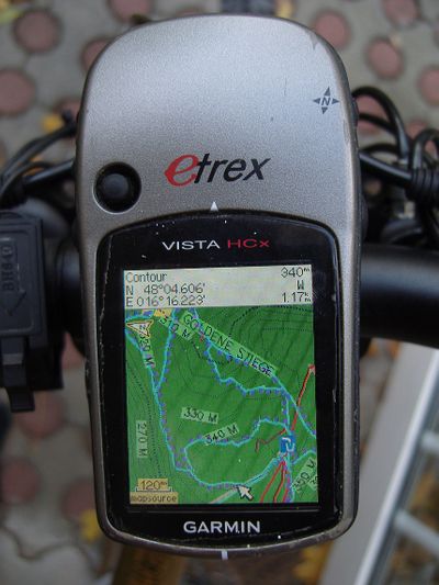
Typfiles are only used by Garmin Color PNAs, so Garmin Units with B/W display are prived from these maps. A new investment into a garmin color unit like the Vista HCx or the 60CSx might be better than investing lots of time into an outdated model.
mkgmap limitations
- See mkgmap mailing list.
Missing MTB and Bicycle information in OSM
- Get out there, upload your tracks into Openstreetmap, correct tags (i.e. reversing the direction of a way with JOSM so that the oneway attributes are correct - way needs to down the mountain if it is downhill only), and help with the definition files here and with osm_composer. There is a lot to do!!!
To Do
- A Digital Elevation Model (DEM) should be added, basically the same process as for the Hiking Map could be used: https://wiki.openstreetmap.org/index.php/HikingBikingMaps but no one has found out how Garmin implemented the DEM into their maps - the only way to do it would therefore be to use a pirated copy of Garmin MPC. As of Mapsource 6.16.1 / Basecamp 3.0.1 normal contourlines are enough for a profile to be generated. The quality of the profile is of course not as good as if one would incorporate a proper DEM.
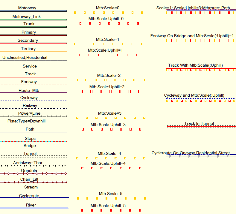
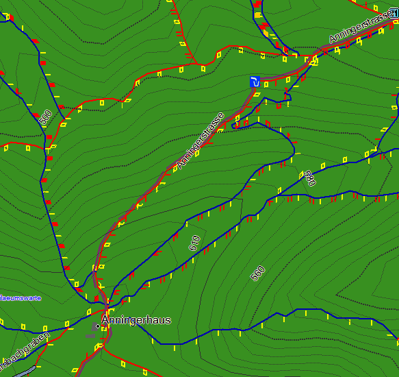
New Screenshots, incorporating the mtb:scale proposal
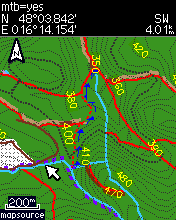
Old Screenshots / Map Rendering (dated, don't take account of mtb:scale yet)
See also
- Mkgmap The software behind the osm -> img conversion
- Mkgmap/dev Development Page for Mkgmap. I currently use revision 685 for rendering my maps. I don't know if any essential features are missing in stable 590.
- Srtm2osm The software responsible for creating the contourlines for altitude.
- Mountainbiketours How to tag Mountainbikeroutes
- Mountainbike How to tag Mountainbikeways
Similar Projects
- OSM_Map_On_Garmin/Cycle_map The first project to produce cycle specific maps with mkgmap.
- HikingBikingMaps A very nice map for Kosmos. Can't be imported to Garmin units however. Pretty complicated to do it yourself. Incorporates a DEM.
