User:AkuAnakTimur/Sentinel-2 imagery in JOSM
Jump to navigation
Jump to search
This is how I exploit Sentinel-2 imagery to be used as a tracing layer directly in the JOSM editor.
- JOSM should have the ImportImagePlugin installed.
- Install a copy of QGIS on your machine.
- Register for a free account on the Copernicus Open Access Hub. See this guide.
- With an account from Copernicus Open Access Hub, it's time to download a copy of the data (between 200MB and nearly 1GB zip files)! Personally I use Sentinel-hub EO Browser to get it. Use credentials from Copernicus Open Access Hub to proceed downloading them.
- In the downloaded zip file, browse for the /GRANULE/a folder with a really long name/IMG_DATA/ subfolder. Use your favourite file manager. For this example, the folder with a really long name is L1C_T47NQD_A015059_20200124T034212.
- Look for a JP2000 file with a _TCI suffix for its name. See example in gallery below (the desired file is T47NQD_20200124T033029_TCI.jp2).
- Extract the file if it's still unzipped.
- Open the long filename_TCI file with QGIS. Adjust colour levels, trim if needed, etc. Save as TIFF file.
- View the TIFF file directly from JOSM! Trace, trace, trace to your heart!
Something else...
- Speaking of AWS S3 Bucket, if you have access to it, (Requester Pays, said AWS) you can easily download a single TCI (oh, which means True Colour Imagery) file, rather than downloading an archive which is 5-10 times bigger.
- Why trimming (or extracting, per QGIS) is important? Unless your machine and Java/OpenJDK runtimes was set with higher memory consumption, weaker machines may struggle with even a 200MB-ish TIFF file.
Step-by-step in pictures
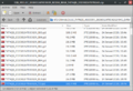
Steps 4 and 5
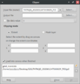
Step 8 in brief
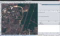
Final step


A bit of history
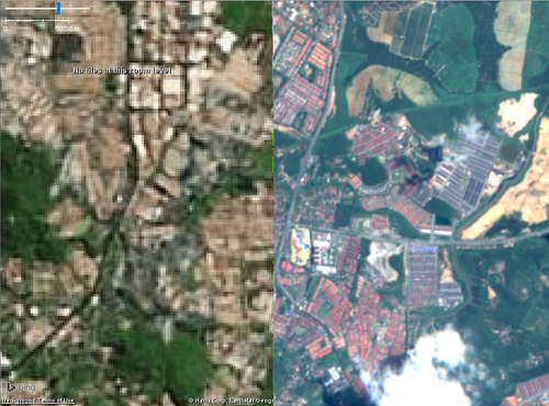
Why? Before more resources were shared by Esri and Maxar, and when Bing took a while to refresh their imagery, (keep in mind that this was 2013-2016), the available imagery for most of the country used to look much like the left part of this image:

In the absence of any open data from my country, I considered imageries from Sentinel-2 (right part of the image) came to the rescue!
Well, they are still useful today, due to the frequent updates - considering that Microsoft, Maxar and Esri (probably more to come?) may not offer more frequent imagery refresh.