File:601Central East, Bauang, La Union 53.jpg
Jump to navigation
Jump to search

Size of this preview: 800 × 600 pixels. Other resolutions: 320 × 240 pixels | 640 × 480 pixels | 1,024 × 768 pixels | 1,280 × 960 pixels | 2,560 × 1,920 pixels | 4,608 × 3,456 pixels.
Original file (4,608 × 3,456 pixels, file size: 6.26 MB, MIME type: image/jpeg)
This file and its description are from Wikimedia Commons.
Summary
| Description |
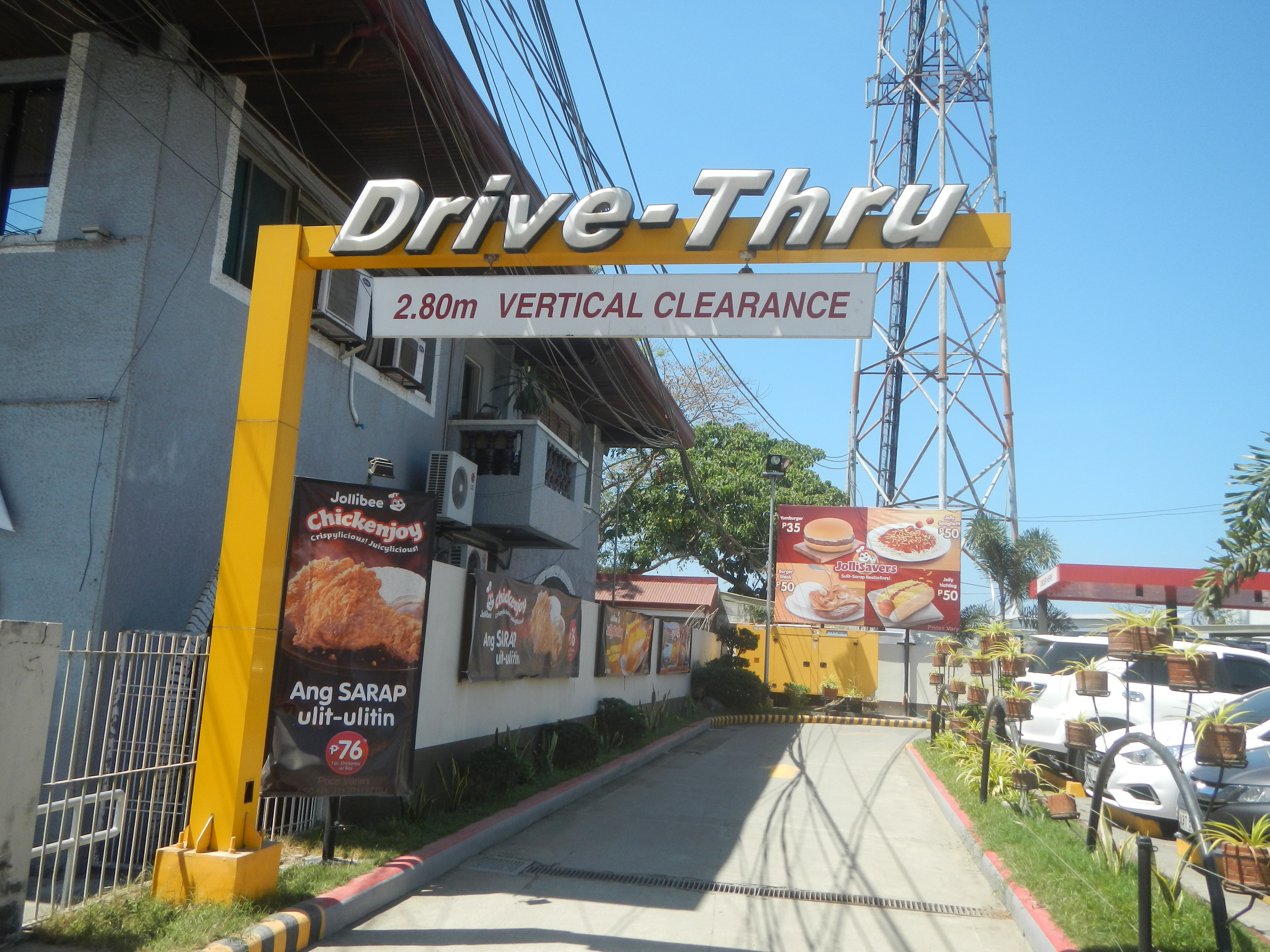
English: MacArthur Highway (Bauang, La Union) Jose Rizal monuments in Bauang, La Union Central East, Bauang, La Union Bauang Farmers' Civic Center Roman Catholic Diocese of San Fernando de La Union Sacred Heart School – Bauang Façade of Bauang Church 2020 Bauang town hall and legislative building Jollibee restaurants in Bauang, La Union Central West, Bauang, La Union Bauang Acacia Arcade Bauang Rural Health Unit Bauang Bridge II K0 258+233 XCMG XR150DII Calumbaya, Bauang, La Union Bauang Bridge I K0 257+732 K0 257+800 Inaugurated November 25, 1995 to Naguilian Road to Bauang-San Fernando-San Juan Bypass Road from Payocpoc Norte, Bauang to Taboc, San Juan bypasses 24 barangays 4-lane road with a length of 22.194 kilometers P2.3 billion Manuel Estabillo Arguilla historical marker 1911-1944 Dedicated November 29, 2017 Bauang Church Patio - Plaza Facade of Bauang Church 2020 Sacred Heart School San Pedro Bell Bauang National Child Development Center Category:Sitios and puroks of the Philippines Subdivisions of the PhilippinesList of barangays in La Union Barangays Central West 16.5226, 120.3283 Central East 16.5229, 120.3333 Bauang, La Union from or along MacArthur Highway or Manila North Road) Philippine highway network (Note: Judge Florentino Floro, the owner, to repeat, Donor Florentino Floro of all these photos hereby donate gratuitously, freely and unconditionally Judge Floro all these photos to and for Wikimedia Commons, exclusively, for public use of the public domain, and again without any condition whatsoever). |
| Date | |
| Source | Own work |
| Author | Judgefloro |
| Camera location | | View this and other nearby images on: OpenStreetMap |
|---|
Central East 16.5229, 120.3333
Licensing
I, the copyright holder of this work, hereby publish it under the following license:
| This file is made available under the Creative Commons CC0 1.0 Universal Public Domain Dedication. | |
| The person who associated a work with this deed has dedicated the work to the public domain by waiving all of their rights to the work worldwide under copyright law, including all related and neighboring rights, to the extent allowed by law. You can copy, modify, distribute and perform the work, even for commercial purposes, all without asking permission.
|
File history
Click on a date/time to view the file as it appeared at that time.
| Date/Time | Thumbnail | Dimensions | User | Comment | |
|---|---|---|---|---|---|
| current | 06:19, 7 March 2020 | | 4,608 × 3,456 (6.26 MB) | wikimediacommons>Judgefloro | Uploaded own work with UploadWizard |
File usage
The following page uses this file: