File:Acceso al Parque Nacional El Leoncito.jpg
Jump to navigation
Jump to search


Size of this preview: 800 × 599 pixels. Other resolutions: 320 × 240 pixels | 640 × 480 pixels | 1,024 × 767 pixels | 1,280 × 959 pixels | 2,560 × 1,918 pixels | 2,848 × 2,134 pixels.
Original file (2,848 × 2,134 pixels, file size: 1.32 MB, MIME type: image/jpeg)
This file and its description are from Wikimedia Commons.
Summary
| Description |
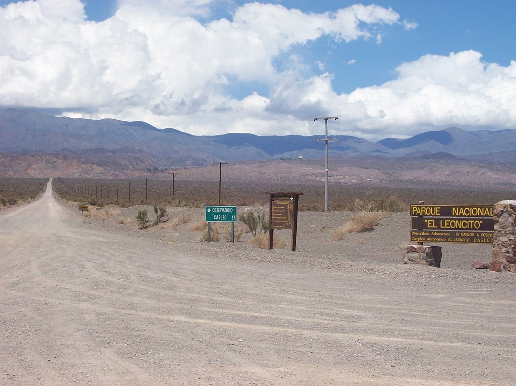
Español: Acceso al Parque Nacional El Leoncito en la intersección con la Ruta Nacional 149 en el Departamento Calingasta, Provincia de San Juan, Argentina. Al fondo, Sierra del Tontal, que es parte de la Precordillera. |
| Date | |
| Source | Own work |
| Author | Darío Alpern |
| Camera location | | View this and other nearby images on: OpenStreetMap |
|---|
Licensing
I, the copyright holder of this work, hereby publish it under the following licenses:

|
Permission is granted to copy, distribute and/or modify this document under the terms of the GNU Free Documentation License, Version 1.2 or any later version published by the Free Software Foundation; with no Invariant Sections, no Front-Cover Texts, and no Back-Cover Texts. A copy of the license is included in the section entitled GNU Free Documentation License. |
This file is licensed under the Creative Commons Attribution-Share Alike 3.0 Unported license.
- You are free:
- to share – to copy, distribute and transmit the work
- to remix – to adapt the work
- Under the following conditions:
- attribution – You must give appropriate credit, provide a link to the license, and indicate if changes were made. You may do so in any reasonable manner, but not in any way that suggests the licensor endorses you or your use.
- share alike – If you remix, transform, or build upon the material, you must distribute your contributions under the same or compatible license as the original.
You may select the license of your choice.
File history
Click on a date/time to view the file as it appeared at that time.
| Date/Time | Thumbnail | Dimensions | User | Comment | |
|---|---|---|---|---|---|
| current | 13:31, 20 February 2009 | | 2,848 × 2,134 (1.32 MB) | wikimediacommons>Alpertron | {{Information |Description={{es|1=Acceso al Parque Nacional El Leoncito en la intersección con la Ruta Nacional 149 en el Departamento Calingasta, Provincia de San Juan, Argentina. Al fondo, Sierra del Tontal, que es parte de la Precordillera.}} |Source= |
File usage
The following 2 pages use this file: