File:Ansfelden Naturwärme-Heizwerk Haid Strassenseite-9698.jpg
Jump to navigation
Jump to search


Size of this preview: 800 × 532 pixels. Other resolutions: 320 × 213 pixels | 640 × 426 pixels | 1,024 × 681 pixels | 1,280 × 852 pixels | 2,560 × 1,703 pixels | 5,445 × 3,623 pixels.
Original file (5,445 × 3,623 pixels, file size: 9.58 MB, MIME type: image/jpeg)
This file and its description are from Wikimedia Commons.
Summary
| Description |
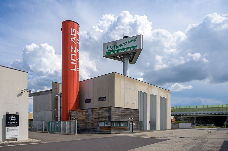
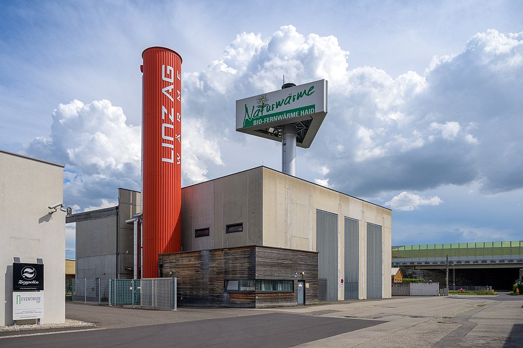
Deutsch: Das Naturwärme-Heizwerk Haid (Eigenbezeichnung Naturwärme Bio-Fernwärme Haid) wurde im Jahre 2010 fertiggestellt. Es versorgt Wohnungen, Betriebe und öffentliche Gebäude im Ansfeldner Statdtteil Haid mit Heizenergie. English: The Haid heating plant was completed in 2010. It supplies apartments, businesses and public buildings in the Haid district of Ansfelden with heating energy.
'Haid heating plant' (Q1971636) |
| Date | |
| Source | Own work |
| Author | Isiwal |
| Camera location | | View this and other nearby images on: OpenStreetMap |
|---|
Licensing
I, the copyright holder of this work, hereby publish it under the following license:
This file is licensed under the Creative Commons Attribution-Share Alike 4.0 International license.
- You are free:
- to share – to copy, distribute and transmit the work
- to remix – to adapt the work
- Under the following conditions:
- attribution – You must give appropriate credit, provide a link to the license, and indicate if changes were made. You may do so in any reasonable manner, but not in any way that suggests the licensor endorses you or your use.
- share alike – If you remix, transform, or build upon the material, you must distribute your contributions under the same or compatible license as the original.

|
Diese Datei wurde im Rahmen von WikiDaheim 2022 in Österreich erstellt und hochgeladen. Sie wurde dem Themenbereich Wikidata zugeordnet. |
This image has been assessed using the Quality image guidelines and is considered a Quality image.
|
File history
Click on a date/time to view the file as it appeared at that time.
| Date/Time | Thumbnail | Dimensions | User | Comment | |
|---|---|---|---|---|---|
| current | 19:14, 12 August 2022 | | 5,445 × 3,623 (9.58 MB) | wikimediacommons>Isiwal | Uploaded own work with UploadWizard |
File usage
The following 2 pages use this file: