File:Carte des concessions et chemins de fer de la Compagnie propriétaire des mines d'Anzin, Raismes, Fresnes, Vieux-Condé, Denain, Saint-Saulve, Odomez et Hasnon.jpg
Jump to navigation
Jump to search


Size of this preview: 800 × 496 pixels. Other resolutions: 320 × 198 pixels | 640 × 397 pixels | 1,024 × 635 pixels | 1,280 × 794 pixels | 2,560 × 1,588 pixels | 9,104 × 5,646 pixels.
Original file (9,104 × 5,646 pixels, file size: 9.87 MB, MIME type: image/jpeg)
This file and its description are from Wikimedia Commons.
| Description |
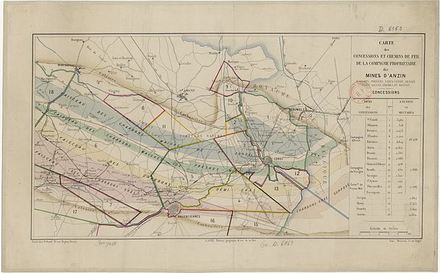
Français : Carte des concessions dépendant de la Compagnie des mines d'Anzin. |
||||
| Date | circa 1880 | ||||
| Source |
Français : Gallica, Bibliothèque Nationale de France. Archives de la Compagnie des mines d'Anzin. Retraitement, assemblage et agrandissement par JÄNNICK Jérémy. |
||||
| Author | Lanée, éditeur géographe | ||||
| Permission (Reusing this file) |
|
||||
File history
Click on a date/time to view the file as it appeared at that time.
| Date/Time | Thumbnail | Dimensions | User | Comment | |
|---|---|---|---|---|---|
| current | 15:24, 29 February 2012 | | 9,104 × 5,646 (9.87 MB) | wikimediacommons>Jérémy-Günther-Heinz Jähnick | Taille supérieure. |
File usage
There are no pages that use this file.