File:Ferry.bristol.arp.jpg
Jump to navigation
Jump to search


Size of this preview: 800 × 598 pixels. Other resolutions: 320 × 239 pixels | 640 × 478 pixels | 1,024 × 765 pixels | 1,280 × 957 pixels | 1,500 × 1,121 pixels.
Original file (1,500 × 1,121 pixels, file size: 476 KB, MIME type: image/jpeg)
This file and its description are from Wikimedia Commons.
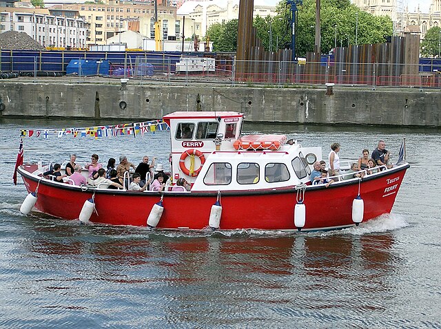
| Description | A ferry connects parts of Bristol harbour, Bristol, England. | ||
| Date | August 2004 (10 August 2004 (according to Exif data)) | ||
| Source | Own work | ||
| Author | Taken by Adrian Pingstone | ||
| Permission (Reusing this file) |
|
| Camera location | | View this and other nearby images on: OpenStreetMap |
|---|
File history
Click on a date/time to view the file as it appeared at that time.
| Date/Time | Thumbnail | Dimensions | User | Comment | |
|---|---|---|---|---|---|
| current | 20:42, 19 May 2005 | | 1,500 × 1,121 (476 KB) | wikimediacommons>Arpingstone | Bristol Ferry |
File usage
The following page uses this file: