File:Geo-Pfad.jpg
Jump to navigation
Jump to search


Size of this preview: 800 × 378 pixels. Other resolutions: 320 × 151 pixels | 640 × 303 pixels | 1,024 × 484 pixels | 1,280 × 605 pixels | 3,379 × 1,598 pixels.
Original file (3,379 × 1,598 pixels, file size: 3.34 MB, MIME type: image/jpeg)
This file and its description are from Wikimedia Commons.
Summary
![]() Germany
Germany ![]() Hesse
Hesse ![]() Rheingau-Taunus-Kreis
Rheingau-Taunus-Kreis ![]() Niedernhausen
Niedernhausen ![]() Oberjosbach - Taunus 379 m ü. NHN
Oberjosbach - Taunus 379 m ü. NHN
| Description |
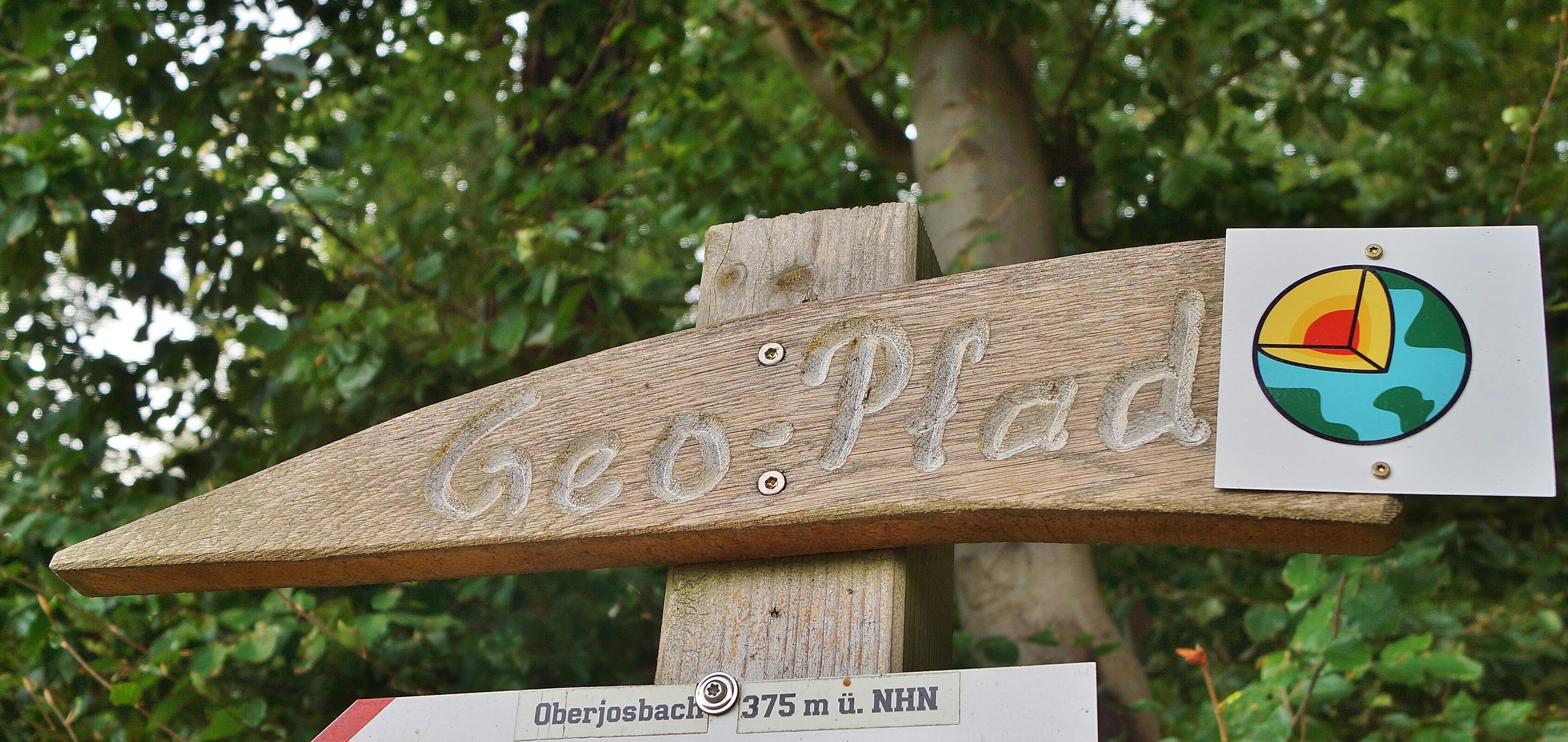
Deutsch: Wegweiser zum Geo-Erlebnispfad in Oberjosbach im Taunus. |
| Date | Taken on 27 August 2022, 16:41 |
| Source | Own work |
| Author | FkMohr |
| Camera location | | View this and other nearby images on: OpenStreetMap |
|---|
HE {XF180221-1101} (ältere Version)
Licensing
Friedrich-Karl Mohr, the copyright holder of this work, hereby publishes it under the following license:
This file is licensed under the Creative Commons Attribution-Share Alike 3.0 Germany license.
Attribution: Friedrich-Karl Mohr
- You are free:
- to share – to copy, distribute and transmit the work
- to remix – to adapt the work
- Under the following conditions:
- attribution – You must give appropriate credit, provide a link to the license, and indicate if changes were made. You may do so in any reasonable manner, but not in any way that suggests the licensor endorses you or your use.
- share alike – If you remix, transform, or build upon the material, you must distribute your contributions under the same or compatible license as the original.
File history
Click on a date/time to view the file as it appeared at that time.
| Date/Time | Thumbnail | Dimensions | User | Comment | |
|---|---|---|---|---|---|
| current | 16:41, 27 August 2022 | | 3,379 × 1,598 (3.34 MB) | wikimediacommons>FkMohr | Actual version. |
File usage
The following page uses this file: