File:Kancamagus Hwy, Lincoln (494318) (11925094454).jpg
Jump to navigation
Jump to search


Size of this preview: 800 × 533 pixels. Other resolutions: 320 × 213 pixels | 640 × 426 pixels | 1,024 × 682 pixels | 1,280 × 852 pixels | 2,560 × 1,705 pixels | 4,000 × 2,664 pixels.
Original file (4,000 × 2,664 pixels, file size: 5.03 MB, MIME type: image/jpeg)
This file and its description are from Wikimedia Commons.
Summary
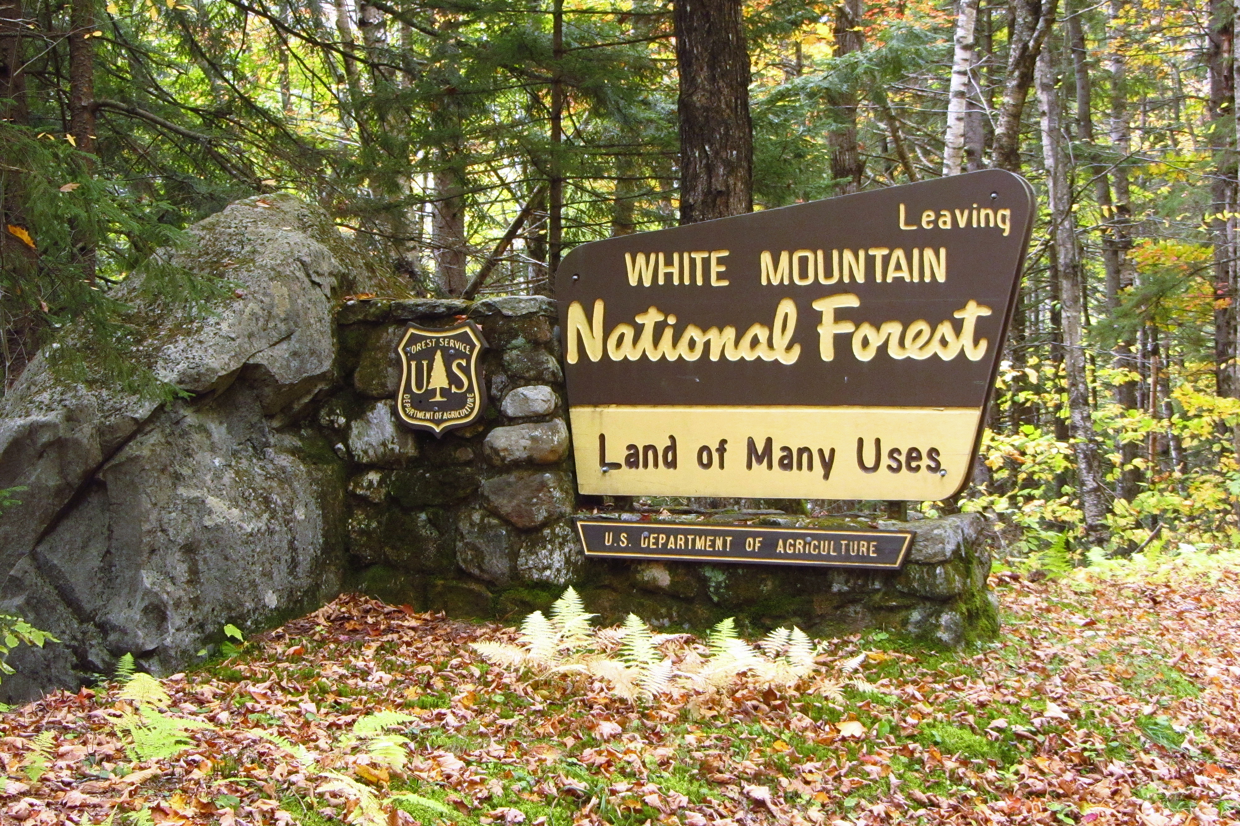
| Description | Kancamagus Hwy, Lincoln, New Hampshire, United States |
| Date | |
| Source | Kancamagus Hwy, Lincoln (494318) |
| Author | Robert Linsdell from St. Andrews, Canada |
| Camera location | | View this and other nearby images on: OpenStreetMap |
|---|
_(11925094454).jpg¶ms=044.064242_N_-071.608199_E_globe:Earth_type:camera_source:Flickr_&language=en)
Licensing
This file is licensed under the Creative Commons Attribution 2.0 Generic license.
- You are free:
- to share – to copy, distribute and transmit the work
- to remix – to adapt the work
- Under the following conditions:
- attribution – You must give appropriate credit, provide a link to the license, and indicate if changes were made. You may do so in any reasonable manner, but not in any way that suggests the licensor endorses you or your use.
| This image was originally posted to Flickr by Bob Linsdell at https://flickr.com/photos/92487715@N03/11925094454 (archive). It was reviewed on 5 May 2018 by FlickreviewR 2 and was confirmed to be licensed under the terms of the cc-by-2.0. |
File history
Click on a date/time to view the file as it appeared at that time.
| Date/Time | Thumbnail | Dimensions | User | Comment | |
|---|---|---|---|---|---|
| current | 16:17, 5 May 2018 | | 4,000 × 2,664 (5.03 MB) | wikimediacommons>OceanAtoll | Transferred from Flickr via #flickr2commons |
File usage
The following page uses this file:
_(11925094454).jpg)