File:Mason (5747043960).jpg
Jump to navigation
Jump to search


Size of this preview: 800 × 532 pixels. Other resolutions: 320 × 213 pixels | 640 × 426 pixels | 1,024 × 681 pixels | 1,280 × 851 pixels | 3,008 × 2,000 pixels.
Original file (3,008 × 2,000 pixels, file size: 3.07 MB, MIME type: image/jpeg)
This file and its description are from Wikimedia Commons.
Summary
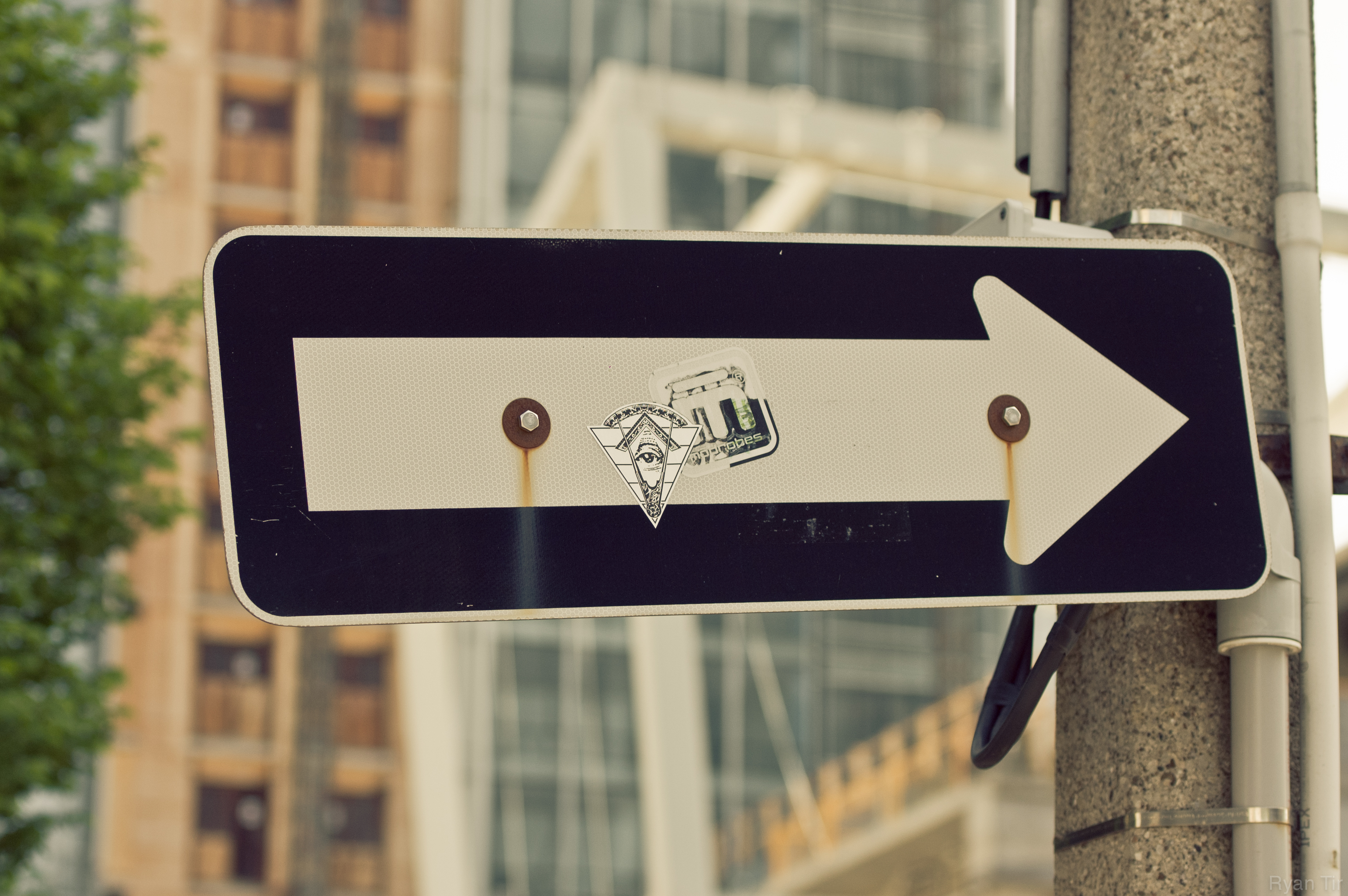
| Description | It's upside down, and not quite like the typical forms I've seen. Anybody know what this means, if at all? Seen in Toronto, pointing towards the Financial District. |
| Date | Taken on 21 May 2011, 16:14 |
| Source | Mason |
| Author | Ryan Tir from Vaughan, ON, Canada |
| Camera location | | View this and other nearby images on: OpenStreetMap |
|---|
.jpg¶ms=043.650019_N_-079.386177_E_globe:Earth_type:camera_source:Flickr_&language=en)
Licensing
This file is licensed under the Creative Commons Attribution 2.0 Generic license.
- You are free:
- to share – to copy, distribute and transmit the work
- to remix – to adapt the work
- Under the following conditions:
- attribution – You must give appropriate credit, provide a link to the license, and indicate if changes were made. You may do so in any reasonable manner, but not in any way that suggests the licensor endorses you or your use.
| This image was originally posted to Flickr by Ryan Tir at https://flickr.com/photos/89285199@N00/5747043960 (archive). It was reviewed on 6 May 2019 by FlickreviewR 2 and was confirmed to be licensed under the terms of the cc-by-2.0. |
File history
Click on a date/time to view the file as it appeared at that time.
| Date/Time | Thumbnail | Dimensions | User | Comment | |
|---|---|---|---|---|---|
| current | 20:27, 6 May 2019 | | 3,008 × 2,000 (3.07 MB) | wikimediacommons>Mindmatrix | Transferred from Flickr via #flickr2commons |
File usage
The following page uses this file:
.jpg)