File:Monsalupe.svg
Jump to navigation
Jump to search


Size of this PNG preview of this SVG file: 433 × 386 pixels. Other resolutions: 269 × 240 pixels | 539 × 480 pixels | 862 × 768 pixels | 1,149 × 1,024 pixels.
Original file (SVG file, nominally 433 × 386 pixels, file size: 450 KB)
This file and its description are from Wikimedia Commons.
| Description |
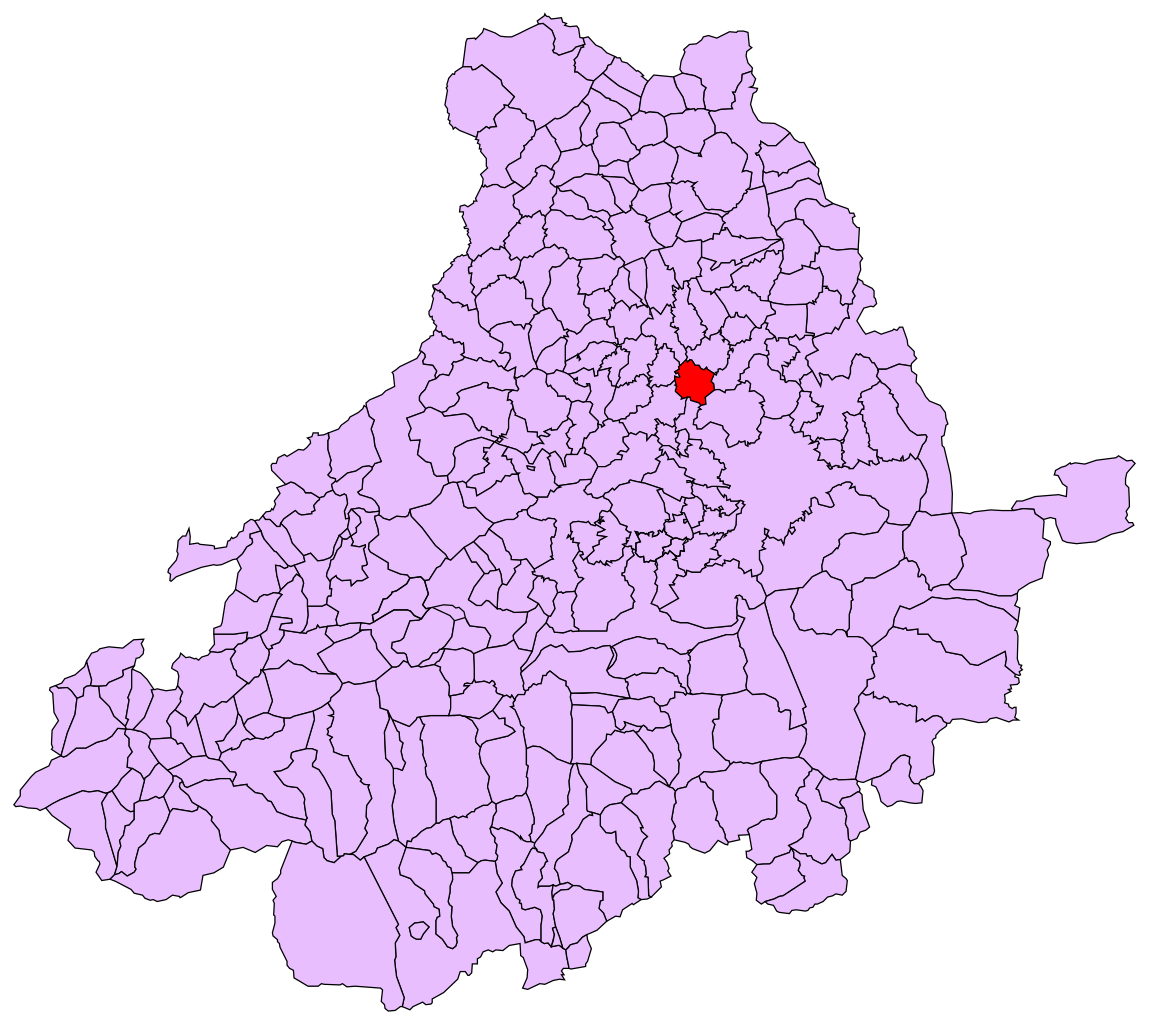
Español: Mapa del municipio de Monsalupe en la provincia de Ávila, Castilla y León, España. |
| Source |
This file was derived from: Avila - Mapa municipal.svg by Tony Rotondas |
| Author | Totemkin |
| Permission (Reusing this file) |
This file is licensed under the Creative Commons Attribution-Share Alike 3.0 Unported license.
|
File history
Click on a date/time to view the file as it appeared at that time.
| Date/Time | Thumbnail | Dimensions | User | Comment | |
|---|---|---|---|---|---|
| current | 01:26, 24 May 2013 | | 433 × 386 (450 KB) | wikimediacommons>Totemkin | {{Information |Description={{es|Mapa del municipio de Monsalupe en la provincia de Ávila, Castilla y León, España.}} |Source={{derived from|Avila - Mapa municipal.svg}} by Tony Rotondas |Date= |Author=[[User:... |
File usage
The following page uses this file: