File:NO (69) WilhelmsruherDamm BahnnachMV.JPG
Jump to navigation
Jump to search


Size of this preview: 800 × 600 pixels. Other resolutions: 320 × 240 pixels | 640 × 480 pixels | 1,024 × 768 pixels | 1,280 × 960 pixels | 2,560 × 1,920 pixels | 4,288 × 3,216 pixels.
Original file (4,288 × 3,216 pixels, file size: 7.18 MB, MIME type: image/jpeg)
This file and its description are from Wikimedia Commons.
Summary
| Description |
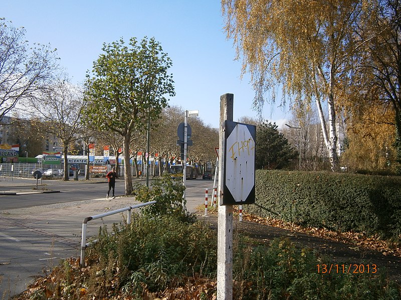
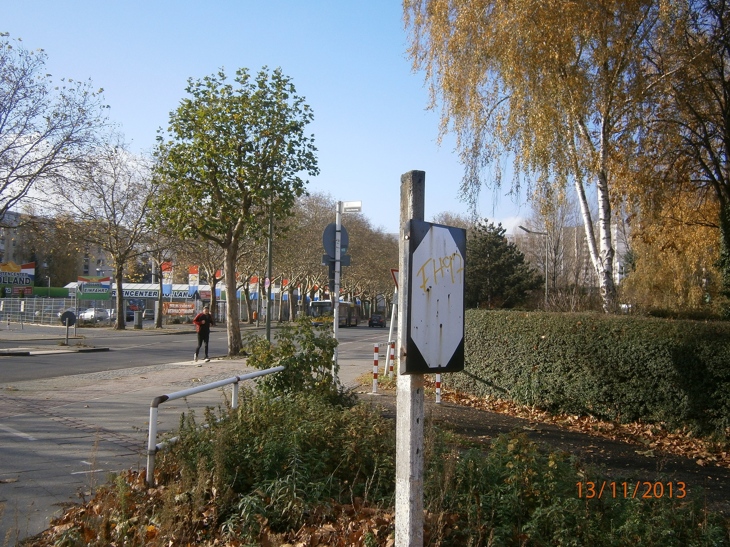
Deutsch: Der Wilhelmsruher Damm ist eine Straße in Berlin-Rosenthal. Blick von der Ecke vormaligen Bahnstrecke (Niederbarnimer Bahn) nach Süden in Richtung Märkisches Viertel. Hier verblieb eun Rest der vormaligen Bahnanlage die zwischen Ost und West im Mauerstreifen vor der Berliner Mauer lag. |
| Date | |
| Source | Own work |
| Author | Günter Haase |
| Camera location | | View this and other nearby images on: OpenStreetMap |
|---|
_WilhelmsruherDamm_BahnnachMV.JPG¶ms=052.597426_N_0013.369513_E_globe:Earth_type:camera__&language=en)
Licensing
I, the copyright holder of this work, hereby publish it under the following license:
This file is licensed under the Creative Commons Attribution-Share Alike 3.0 Unported license.
- You are free:
- to share – to copy, distribute and transmit the work
- to remix – to adapt the work
- Under the following conditions:
- attribution – You must give appropriate credit, provide a link to the license, and indicate if changes were made. You may do so in any reasonable manner, but not in any way that suggests the licensor endorses you or your use.
- share alike – If you remix, transform, or build upon the material, you must distribute your contributions under the same or compatible license as the original.
File history
Click on a date/time to view the file as it appeared at that time.
| Date/Time | Thumbnail | Dimensions | User | Comment | |
|---|---|---|---|---|---|
| current | 11:44, 6 February 2014 | | 4,288 × 3,216 (7.18 MB) | wikimediacommons>Boonekamp | User created page with UploadWizard |
File usage
The following 2 pages use this file:
_WilhelmsruherDamm_BahnnachMV.JPG)