File:NSW RFS BushFireNeighbourhoodSaferPlace.jpg
Jump to navigation
Jump to search


Size of this preview: 444 × 599 pixels. Other resolutions: 178 × 240 pixels | 356 × 480 pixels | 569 × 768 pixels | 759 × 1,024 pixels | 1,518 × 2,048 pixels | 3,120 × 4,208 pixels.
Original file (3,120 × 4,208 pixels, file size: 3.38 MB, MIME type: image/jpeg)
This file and its description are from Wikimedia Commons.
Summary
| Description |
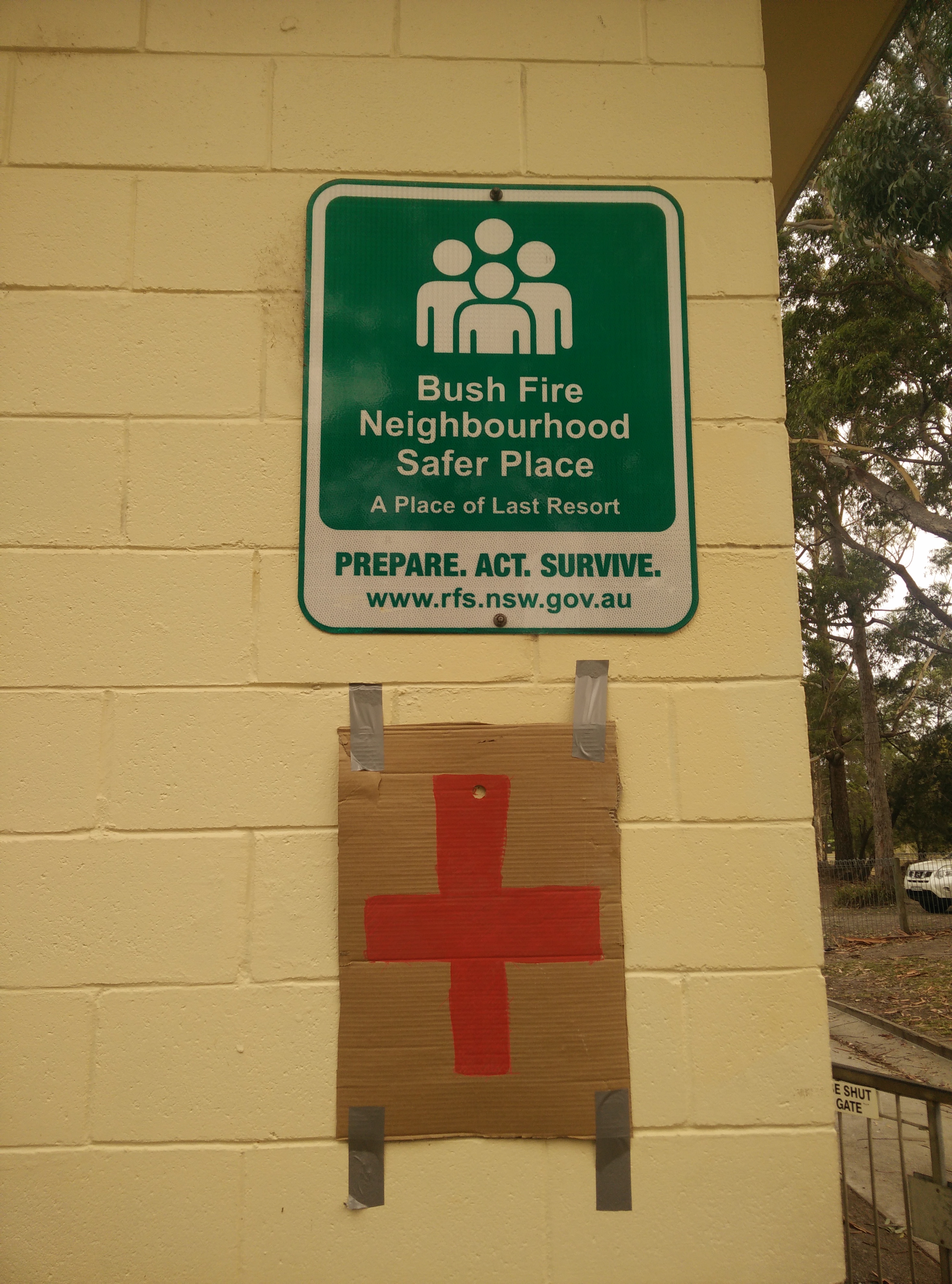
English: NSW Rural Fire Service "Bush Fire Neighbourhood Safer Place - A Place of Last Resort" sign |
| Date | |
| Source | https://www.flickr.com/photos/136319147@N08/49324333543/ |
| Author | Andrew Harvey |
| Other versions |
.jpg)
| Camera location | | View this and other nearby images on: OpenStreetMap |
|---|
Licensing
| This image was originally posted to Flickr by andrewharvey4 at https://flickr.com/photos/136319147@N08/49324333543 (archive). It was reviewed on 6 January 2020 by FlickreviewR 2 and was confirmed to be licensed under the terms of the cc-by-2.0. |
This file is licensed under the Creative Commons Attribution 2.0 Generic license.
- You are free:
- to share – to copy, distribute and transmit the work
- to remix – to adapt the work
- Under the following conditions:
- attribution – You must give appropriate credit, provide a link to the license, and indicate if changes were made. You may do so in any reasonable manner, but not in any way that suggests the licensor endorses you or your use.
File history
Click on a date/time to view the file as it appeared at that time.
| Date/Time | Thumbnail | Dimensions | User | Comment | |
|---|---|---|---|---|---|
| current | 04:16, 6 January 2020 | | 3,120 × 4,208 (3.38 MB) | wikimediacommons>A1Cafel | Full Size |
File usage
The following page uses this file: