File:Stolpersteine Bremerhaven – Amalie Rosenberg.JPG
Jump to navigation
Jump to search

Size of this preview: 604 × 599 pixels. Other resolutions: 242 × 240 pixels | 484 × 480 pixels | 774 × 768 pixels | 1,032 × 1,024 pixels | 1,985 × 1,969 pixels.
Original file (1,985 × 1,969 pixels, file size: 1.5 MB, MIME type: image/jpeg)
This file and its description are from Wikimedia Commons.
Summary
| Description |
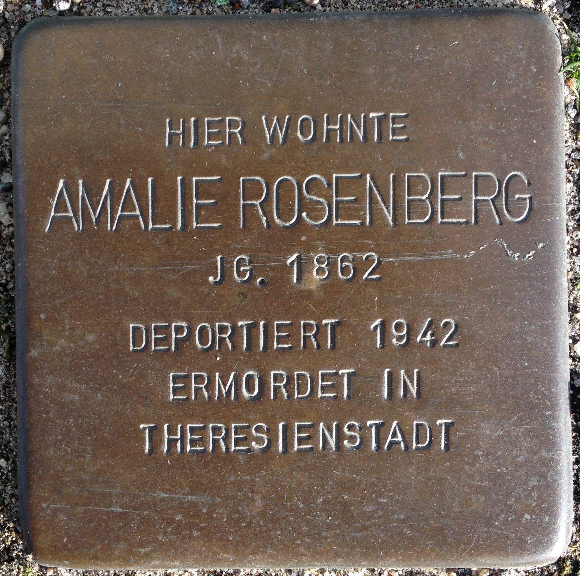
Deutsch: Stolperstein in Bremerhaven. Person: Amalie Rosenberg. Lage: Stresemannstraße 206 (ehem. Poststraße 107), Bremerhaven-Lehe. Inschrift: »Hier wohnte Amalie Rosenberg, Jg. 1862, deportiert 1942, ermordet in Theresienstadt«. |
| Date | |
| Source | Own work |
| Author | FlorianKlu |
| Camera location | | View this and other nearby images on: OpenStreetMap |
|---|
Licensing
I, the copyright holder of this work, hereby publish it under the following license:
| This file is made available under the Creative Commons CC0 1.0 Universal Public Domain Dedication. | |
| The person who associated a work with this deed has dedicated the work to the public domain by waiving all of their rights to the work worldwide under copyright law, including all related and neighboring rights, to the extent allowed by law. You can copy, modify, distribute and perform the work, even for commercial purposes, all without asking permission.
|
File history
Click on a date/time to view the file as it appeared at that time.
| Date/Time | Thumbnail | Dimensions | User | Comment | |
|---|---|---|---|---|---|
| current | 16:27, 23 February 2014 | | 1,985 × 1,969 (1.5 MB) | wikimediacommons>FlorianKlu | User created page with UploadWizard |
File usage
The following 2 pages use this file: