File:Triangle du Tacul - Goulotte Chèré.jpg
Jump to navigation
Jump to search


Size of this preview: 450 × 600 pixels. Other resolutions: 180 × 240 pixels | 360 × 480 pixels | 576 × 768 pixels | 768 × 1,024 pixels | 1,500 × 2,000 pixels.
Original file (1,500 × 2,000 pixels, file size: 520 KB, MIME type: image/jpeg)
This file and its description are from Wikimedia Commons.
Summary
| Description |
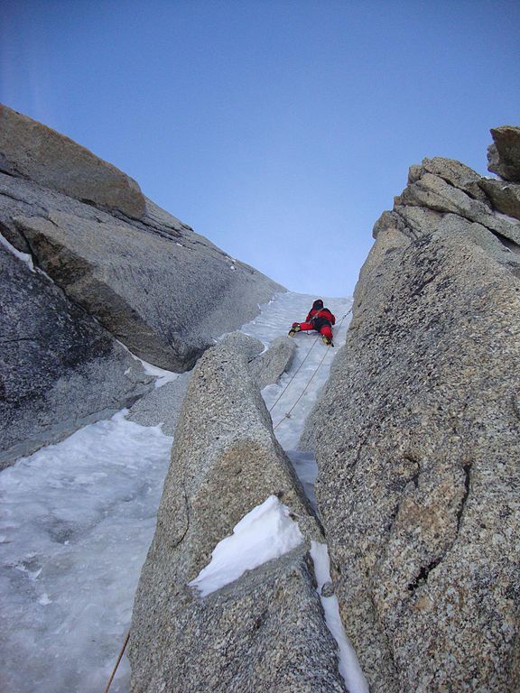
English: Triangle du Tacul - Goulotte Chèré |
| Date | |
| Source | http://www.camptocamp.org/images/214257/fr/goulotte-chere-longueur-clef |
| Author | Thierry Lafue |
Licensing
This file is licensed under the Creative Commons Attribution-Share Alike 2.0 France license.
- You are free:
- to share – to copy, distribute and transmit the work
- to remix – to adapt the work
- Under the following conditions:
- attribution – You must give appropriate credit, provide a link to the license, and indicate if changes were made. You may do so in any reasonable manner, but not in any way that suggests the licensor endorses you or your use.
- share alike – If you remix, transform, or build upon the material, you must distribute your contributions under the same or compatible license as the original.
This file, which was originally posted to
http://www.camptocamp.org/images/214257/fr/goulotte-chere-longueur-clef, was reviewed on 21 June 2012 by reviewer Ww2censor, who confirmed that it was available there under the stated license on that date.
|
File history
Click on a date/time to view the file as it appeared at that time.
| Date/Time | Thumbnail | Dimensions | User | Comment | |
|---|---|---|---|---|---|
| current | 22:35, 19 June 2012 | | 1,500 × 2,000 (520 KB) | wikimediacommons>Rotpunkt |
File usage
The following page uses this file: