Category:Featured images/2010
Jump to navigation
Jump to search
These are featured images, which have been identified as the best examples of OpenStreetMap mapping, or as useful illustrations of the OpenStreetMap project.
If you know another image of similar quality, you can nominate it on Featured image proposals.
See also: Category:Featured images/2009 and Category:Featured images/2011
Subcategories
This category has only the following subcategory.
/
Pages in category "Featured images/2010"
The following 5 pages are in this category, out of 5 total.
Media in category "Featured images/2010"
The following 52 files are in this category, out of 52 total.
- DOP Lauf Kreuzung.jpg 1,280 × 1,024; 848 KB
- Cyclemap hill shading.png 500 × 400; 353 KB
- Portauprince.jpg 1,090 × 636; 130 KB
- Tulcea norc.png 750 × 1,080; 676 KB
- UndergroundPipelinesExample.jpg 500 × 500; 45 KB
- World Bank Haiti Situation Room.jpg 1,600 × 1,200; 500 KB
- Screenshot-wmsracer.png 1,152 × 864; 46 KB
- OpenOrienteeringMap of Ayala Center, Makati 2010-01-29.png 986 × 782; 112 KB
- Mapgen004Hofheim.png 412 × 288; 72 KB
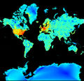
- Tah heatmap june2009.jpg 509 × 490; 242 KB
- London map updates 2009 2010.jpg 1,280 × 960; 869 KB
- Iso3DMap.jpg 800 × 414; 126 KB
- OSM Workshop at FEATI University 1.jpg 2,048 × 1,536; 854 KB
- OSM By Night Helsinki 2010-03-12.png 1,680 × 818; 1.86 MB
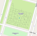
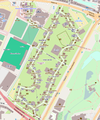
- PGardens.png 386 × 377; 73 KB
- Example2 london.png 698 × 992; 739 KB
- Marikina Cake.jpg 720 × 540; 97 KB
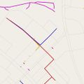
- Oregon 300 survey points.png 240 × 400; 37 KB
- ItoWorld flightRadar.jpg 639 × 363; 32 KB
- OSM GWT train SC.jpg 1,024 × 768; 377 KB
- Ricajimarie mapkibera IMG 5608.jpg 2,500 × 1,667; 427 KB
- Cloudmade mapzen.JPG 1,280 × 623; 101 KB
- BrixtonPinMap.JPG 2,203 × 1,652; 988 KB
- Indian Railway Network Coverage on OSM.png 795 × 795; 326 KB
- Green Point Common OSM.svg 1,106 × 636; 1.73 MB
- Osmit2010.JPG 2,000 × 1,500; 1.36 MB
- Gpsdrive 2.12svn cycle.png 1,024 × 768; 1.15 MB
- SOTM10 Chris Fleming.jpg 1,024 × 683; 430 KB
- Kosice-bus stop.jpg 419 × 347; 153 KB
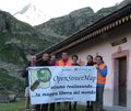
- Participants graian alps mp.JPG 1,500 × 1,260; 1.23 MB
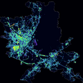
- Tree-density.png 1,600 × 1,600; 761 KB
- Sinj osm map 800px.JPG 800 × 1,135; 562 KB
- British isles osmarender August 2010.png 1,227 × 1,881; 1.86 MB
- Hamburger Sommerdom 2010 Mapnik.png 804 × 967; 454 KB
- OSM VE oagosto.jpg 962 × 536; 86 KB
- 4636578697 6e85855407.jpg 1,024 × 768; 329 KB
- Staffanstorp 1.png 768 × 460; 169 KB
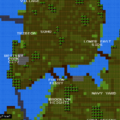
- 8bit cities.png 700 × 700; 62 KB
- MeridaVenezuela.png 1,065 × 582; 319 KB
- Marburg blind mapping.jpg 640 × 427; 96 KB
- VLMW Group Photo.jpg 2,048 × 1,536; 687 KB
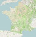
- France10-1year.jpg 2,560 × 2,624; 1.99 MB
- Axismaps closeup.jpg 500 × 331; 75 KB
- Osmcopter-split-screen.jpg 2,916 × 2,000; 1.7 MB
- NikeGridBlack.png 513 × 433; 147 KB
- St4m.png 440 × 591; 508 KB
- OpenStreetMap-example-no.png 718 × 626; 299 KB
- MaperitiveSvgIllustrator.png 714 × 467; 138 KB
- Hjerting josm bing.gif 620 × 600; 1.16 MB
- Cartopartiemlg.jpg.jpg 710 × 533; 145 KB
- Extrusion in mapnik16.png 450 × 516; 67 KB
- Urban accessibility map of Castelfiorentino.png 730 × 611; 363 KB


