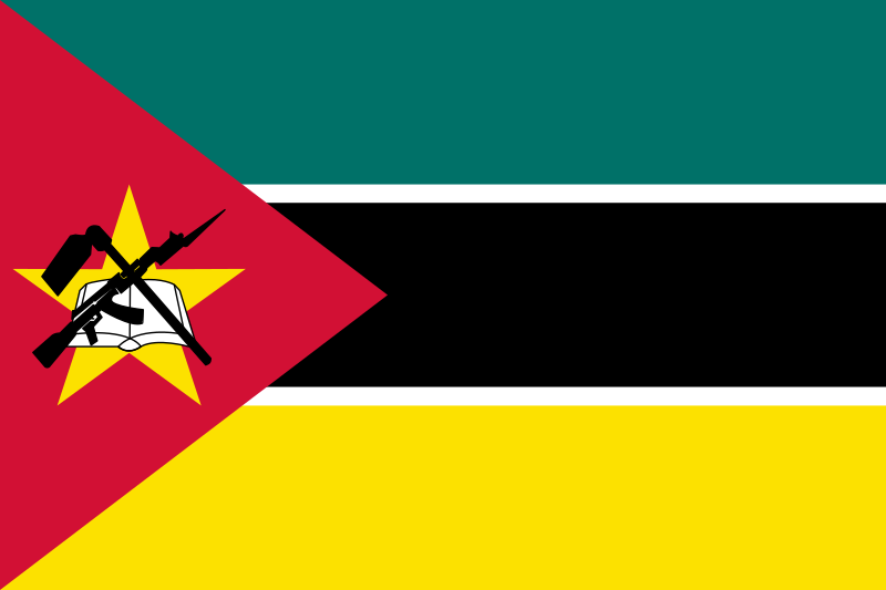
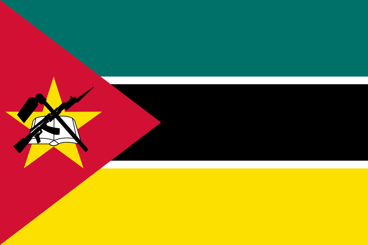
File:Flag of Mozambique.svg
Jump to navigation
Jump to search

Size of this PNG preview of this SVG file: 800 × 533 pixels. Other resolutions: 320 × 213 pixels | 640 × 427 pixels | 1,024 × 683 pixels | 1,280 × 853 pixels.
Original file (SVG file, nominally 900 × 600 pixels, file size: 3 KB)
This file and its description are from Wikimedia Commons.
Summary
| Description |
Português: Bandeira de Moçambique
العربية: علم موزمبيق
Deutsch: Flagge Mosambiks
English: Flag of Mozambique
Español: Bandera de Mozambique
Esperanto: Flago de Mozambiko
Français : Drapeau du Mozambique
Italiano: Bandiera del Mozambico
Malagasy : Sainan'i Maozambika
Slovenščina: Državna zastava Mozambika
Soomaaliga: Calanka Musaanbiiq
Svenska: Moçambiques flagga
Kiswahili: Bendera ya Msumbiji
Latviešu: Mozambikas Republikas karogs
Русский: Флаг Мозамбика |
|||||||
| Date | ||||||||
| Source | From the Open Clip Art website with construction modified based on FOTW and Vexilla-Mundi. | |||||||
| Author | User:Nightstallion | |||||||
| Permission (Reusing this file) |
|
|||||||
| Other versions |
|
|||||||
| SVG | This vector image was created with a text editor. |


.svg)
_(2-3).svg)
.svg)
.svg)
_(2-3).svg)
_(16-9).svg)
.svg)
File history
Click on a date/time to view the file as it appeared at that time.
| Date/Time | Thumbnail | Dimensions | User | Comment | |
|---|---|---|---|---|---|
| current | 23:18, 28 November 2022 | | 900 × 600 (3 KB) | wikimediacommons>VexilAlpaca | Reducing code (not changing colors because I don't know whether Vexilla-Mundi or the 2012 Olympics Manual is more accurate) |
File usage
The following 50 pages use this file:
- Africa
- Ar:إفريقيا
- Beira, Sofala
- Cabo Delgado
- Chimoio, Manica
- Cidade de Maputo
- Contributors
- Cs:Tag:route=train
- Default speed limits
- Gaza, Mozambique
- Inhambane
- Inhambane,Inhambane
- Lichinga, Niassa
- List of territory based projects
- Manica
- Maputo
- Maputo,Cidade de Maputo
- Matola, Maputo
- Mozambique
- Nampula
- Nampula,Nampula
- Niassa
- Pemba,Cabo Delgado
- Pt:Key:isced:level
- Pt:Map Features
- Pt:Mozambique
- Pt:Página principal
- Pt:Tag:boundary=administrative
- Quelimane,Zambézia
- Sofala
- Tag:boundary=administrative
- Tag:route=train
- Tete
- Tete,Tete
- Tzm:ⵟⴰⴼⵔⵉⴽⵜ
- Xai-Xai, Mozambique
- Zambézia
- Zh-hans:List of territory based projects
- User:Anil Basnet
- User:Frozenrabi
- User:Gaurav Thapa
- User:Nafergo
- User:Zermes
- Template:Admin level
- Template:Countries of Africa
- Template:FR:Admin level
- Template:Pt-Mozambique:place
- Template:Pt:Países lusófonos
- FR:Key:admin level
- ES:Tag:route=train