List of featured images/2006
Jump to navigation
Jump to search
These are featured images, which have been identified as the best examples of OpenStreetMap mapping, or as useful illustrations of the OpenStreetMap project.
If you know another image of similar quality, you can nominate it on Featured image proposals.
- See also: List of featured images/2007
| December 2006 | ||
| 30th | 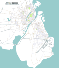
|
Copenhagen's map has been updated, with coastline data, and more detail of the airport. |
| 23rd | 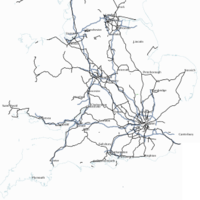
|
Railways and motorways in Britain - thematic maps can be generated using osmtrackfilter in conjunction with the normal rendering tools |
| 16th | 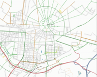
|
The geometric layout of Karlsruhe is illustrated in SlowRider's map, rendered by Joto using Osmarender |
| 9th | 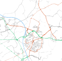
|
The tracklogs around Hedge End are almost good enough to navigate from before they get converted into vector maps! |
| 2nd | 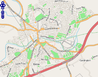
|
A new version of the slippy map makes OpenStreetMap data look rather smart. |
| November 2006 | ||
| 25th | 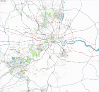
|
Image of the Greater London area, showing what's done, and what's left to do |
| 18th | 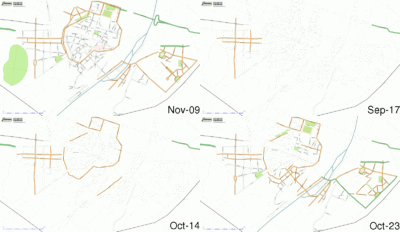
|
The Munich Mapping Weekend was the first ever mapping weekend in Germany. This GIF animation shows the progress made over the last few weeks. |
| 11th | 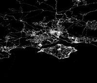
|
Node density in the south of England shows mapping activity in the Isle of Wight, Southampton, and the New Forest |
| 4th | 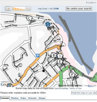
|
Nestoria is using OpenStreetMap data to advertise property for sale in the Isle of Wight. Shown: map of Cowes |
| October 2006 | ||
| 28th | 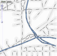
|
U.S. Public-domain TIGER data is being imported, as a basis for american maps. Shown here: junction of interstate 55 and interstate 90, in Chicago |
| 21st | 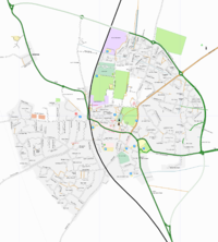
|
Rutland was mapped in a weekend. Map shown is of Oakham, the county town. |
| 14th | 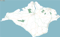
|
It is believed that every road on the Isle of Wight (380 km²) has been mapped by the OpenStreetMap project. |
| 7th | 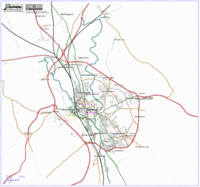
|
Oxford is steadily being mapped, with just a few remaining (eastern) areas of the city still to be covered in detail. Good progress has also been made on mapping the waterways, footpaths and cycleways throughout the city. There is also plenty of overlap with activity for the East Cotswolds |
| September 2006 | ||
| 30th | 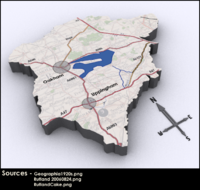
|
Rutland (14 October) will be the scene of OpenStreetMap's 8th mapping event in the UK, where people from all over the country gather to map a specific area |
| 23rd | 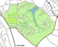
|
Reading University Whiteknights campus is testing OpenStreetMap's support for embedded areas, such as a lake within a park, or paths through a garden. |
| 16th | 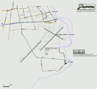
|
J. D. Schmidt's map of Copenhagen airport shows labelled runways and taxiways, taken from official Danish air navigation data. |
| 9th | 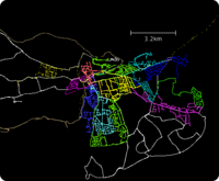
|
Tracklogs from the Reading mapping party show what can be mapped in a weekend. Each colour is one person's contributions for one day. |
| 2nd | 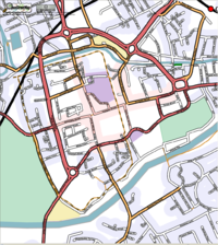
|
Chris Morley's Chester map is notable for its use of areas to mark parks, commercial and retail districts, and residential areas. |
