File:Herrenberg.jpeg: Difference between revisions
Jump to navigation
Jump to search
No edit summary |
(add attribution directly to the template) |
||
| Line 1: | Line 1: | ||
Ausschnitt einer Gegend bei Herrenberg, dargesteltl in QLandkarteGT mit teddy.typ |
Ausschnitt einer Gegend bei Herrenberg, dargesteltl in QLandkarteGT mit teddy.typ |
||
{{CC-BY-SA-4.0-self}} |
{{CC-BY-SA-4.0-self|1=Computerteddy}} |
||
{{CC-BY-SA-2.0 OpenStreetMap}} |
{{CC-BY-SA-2.0 OpenStreetMap}} |
||
Latest revision as of 05:27, 25 April 2022
Ausschnitt einer Gegend bei Herrenberg, dargesteltl in QLandkarteGT mit teddy.typ
- This media file was uploaded by author of the work and its copyright holder.
![]()
![]()
![]()
This work is licensed under the Creative Commons Attribution-ShareAlike 4.0 License.
Attribution: Computerteddy
Attribution: Computerteddy
![]()
Contains map data © OpenStreetMap contributors, made available under the terms of the Creative Commons Attribution-ShareAlike 2.0 (CC-BY-SA-2.0).
File history
Click on a date/time to view the file as it appeared at that time.
| Date/Time | Thumbnail | Dimensions | User | Comment | |
|---|---|---|---|---|---|
| current | 08:43, 13 February 2009 | 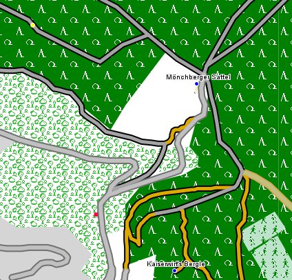 | 424 × 406 (82 KB) | Computerteddy (talk | contribs) | Ausschnitt einer Gegend bei Herrenberg, dargesteltl in QLandkarteGT mit teddy.typ |
You cannot overwrite this file.
File usage
The following page uses this file: