File:Niederlande qlandkarte.png: Difference between revisions
Jump to navigation
Jump to search
(License) |
(add attribution directly to the template) |
||
| Line 1: | Line 1: | ||
Die Niederlande in QLandkarte mit den AND- Daten |
Die Niederlande in QLandkarte mit den AND- Daten |
||
{{CC-BY-SA-4.0-self}}{{CC-BY-SA-2.0 OpenStreetMap}} |
{{CC-BY-SA-4.0-self|1=Computerteddy}}{{CC-BY-SA-2.0 OpenStreetMap}} |
||
[[Category:Screenshots]] |
[[Category:Screenshots]] |
||
Latest revision as of 05:42, 25 April 2022
Die Niederlande in QLandkarte mit den AND- Daten
- This media file was uploaded by author of the work and its copyright holder.
![]()
![]()
![]()
This work is licensed under the Creative Commons Attribution-ShareAlike 4.0 License.
Attribution: Computerteddy
Attribution: Computerteddy
![]()
Contains map data © OpenStreetMap contributors, made available under the terms of the Creative Commons Attribution-ShareAlike 2.0 (CC-BY-SA-2.0).
File history
Click on a date/time to view the file as it appeared at that time.
| Date/Time | Thumbnail | Dimensions | User | Comment | |
|---|---|---|---|---|---|
| current | 10:09, 21 September 2007 | 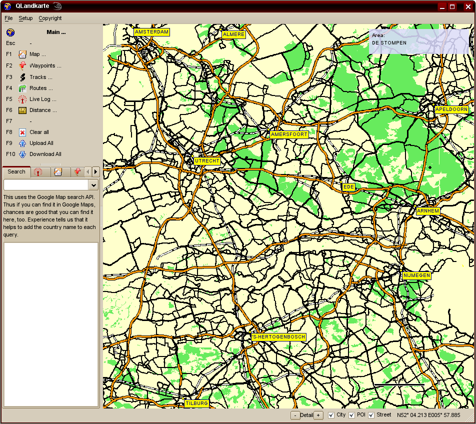 | 952 × 848 (154 KB) | Computerteddy (talk | contribs) | Die Niederlande in QLandkarte mit den AND- Daten |
You cannot overwrite this file.
File usage
The following 2 pages use this file: