File:Chestnut Mt Rd, asphalt.jpg
Jump to navigation
Jump to search


Size of this preview: 800 × 532 pixels. Other resolutions: 320 × 213 pixels | 640 × 426 pixels | 1,024 × 681 pixels | 1,280 × 851 pixels | 2,560 × 1,702 pixels | 6,016 × 4,000 pixels.
Original file (6,016 × 4,000 pixels, file size: 6.38 MB, MIME type: image/jpeg)
This file and its description are from Wikimedia Commons.
| Camera location | | View this and other nearby images on: OpenStreetMap |
|---|
| Description |
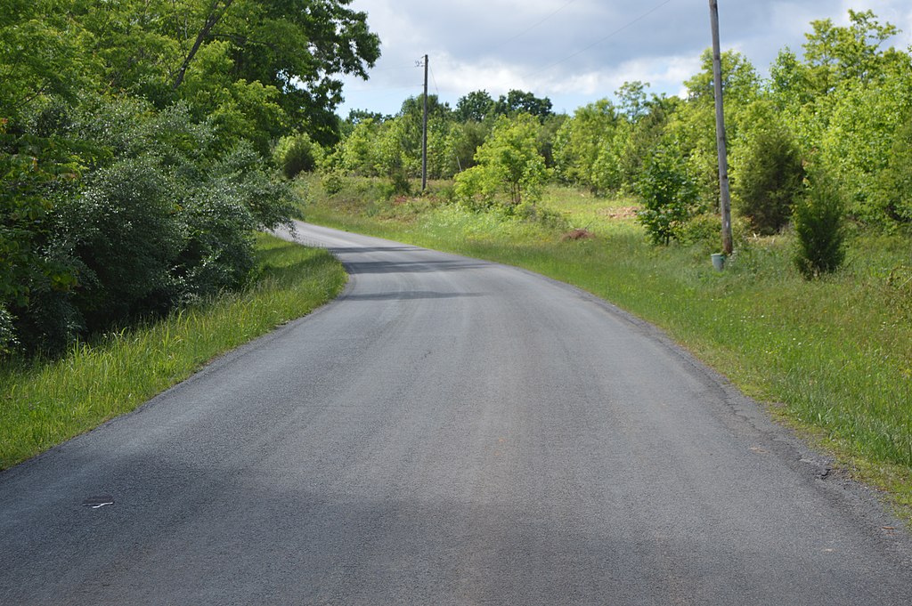
English: A scene on Chestnut Mountain Road southeast of Glade Hill in Franklin County, Virginia, United States. Here, the road is paved with basic but good-quality asphalt. |
||
| Date | Taken on 13 May 2017 | ||
| Source | Own work | ||
| Author | Nyttend | ||
| Permission (Reusing this file) |
|
File history
Click on a date/time to view the file as it appeared at that time.
| Date/Time | Thumbnail | Dimensions | User | Comment | |
|---|---|---|---|---|---|
| current | 02:48, 20 May 2017 | | 6,016 × 4,000 (6.38 MB) | wikimediacommons>Nyttend | {{Location|36|55|49.7|N|79|45|37.1|W}} {{Information |Description={{en|A scene on Chestnut Mountain Road southeast of {{w|Glade Hill, Virginia|Glade Hill}} in {{w|Franklin County, Virginia|Franklin County}}, {{w|Virginia}}, {{w|United States}}. Here,... |
File usage
The following 2 pages use this file: