File:Completeness01.png
Jump to navigation
Jump to search

Size of this preview: 800 × 511 pixels. Other resolutions: 320 × 204 pixels | 640 × 409 pixels | 953 × 609 pixels.
Original file (953 × 609 pixels, file size: 134 KB, MIME type: image/png)
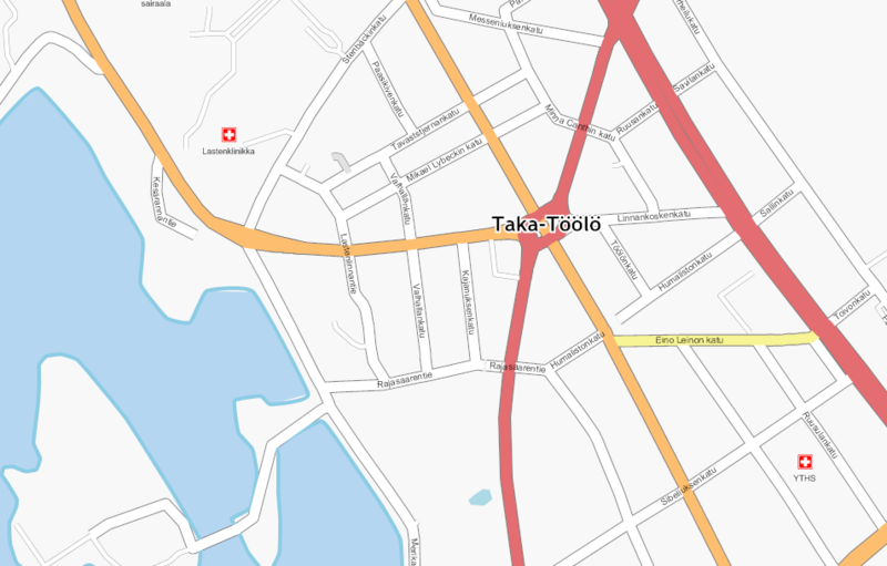
A second pass of mapping usually adds the residentials and their names.
Licensing
![]()
Contains map data © OpenStreetMap contributors, made available under the terms of the Creative Commons Attribution-ShareAlike 2.0 (CC-BY-SA-2.0).
File history
Click on a date/time to view the file as it appeared at that time.
| Date/Time | Thumbnail | Dimensions | User | Comment | |
|---|---|---|---|---|---|
| current | 12:12, 2 December 2008 | | 953 × 609 (134 KB) | Alv (talk | contribs) | A second pass of mapping usually adds the residentials and their names. |
You cannot overwrite this file.
File usage
The following page uses this file: