File:EVTG-Mapping-Aktion-KoelnSuedOst-nachher.png
Jump to navigation
Jump to search


Size of this preview: 800 × 587 pixels. Other resolutions: 320 × 235 pixels | 640 × 469 pixels | 1,024 × 751 pixels.
Original file (1,024 × 751 pixels, file size: 672 KB, MIME type: image/png)
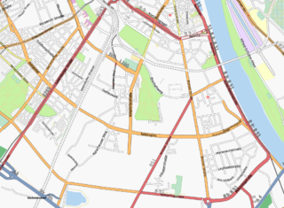
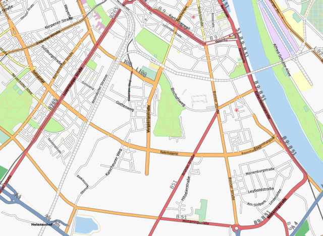
Map of Cologne after the Mapping Event at the Elisabeth-von-Thüringen highschool.
Karte von Köln nach der Mapping-Aktion am Elisabeth-von-Thüringen-Gymnasium.
Licensing
![]()
Contains map data © OpenStreetMap contributors, made available under the terms of the Creative Commons Attribution-ShareAlike 2.0 (CC-BY-SA-2.0).
File history
Click on a date/time to view the file as it appeared at that time.
| Date/Time | Thumbnail | Dimensions | User | Comment | |
|---|---|---|---|---|---|
| current | 08:35, 23 May 2008 | | 1,024 × 751 (672 KB) | Joto (talk | contribs) | Map of Cologne after the Mapping Event at the Elisabeth-von-Thüringen highschool. Karte von Köln nach der Mapping-Aktion am Elisabeth-von-Thüringen-Gymnasium. |
You cannot overwrite this file.
File usage
The following page uses this file: