File:EastCotswolds.png
Jump to navigation
Jump to search


Size of this preview: 363 × 599 pixels. Other resolutions: 145 × 240 pixels | 291 × 480 pixels | 465 × 768 pixels | 1,203 × 1,985 pixels.
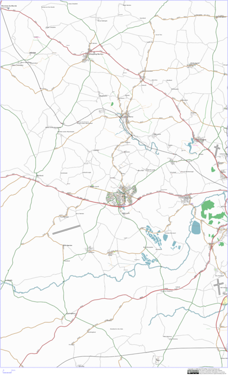
Original file (1,203 × 1,985 pixels, file size: 964 KB, MIME type: image/png)
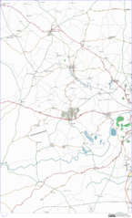
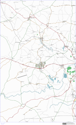
SVG map of the east cotswolds, as of Sunday 2nd March 2009
File history
Click on a date/time to view the file as it appeared at that time.
| Date/Time | Thumbnail | Dimensions | User | Comment | |
|---|---|---|---|---|---|
| current | 17:04, 2 March 2008 | | 1,203 × 1,985 (964 KB) | Gagravarr (talk | contribs) | SVG map of the east cotswolds, as of Sunday 2nd March 2009 |
You cannot overwrite this file.
File usage
The following page uses this file: