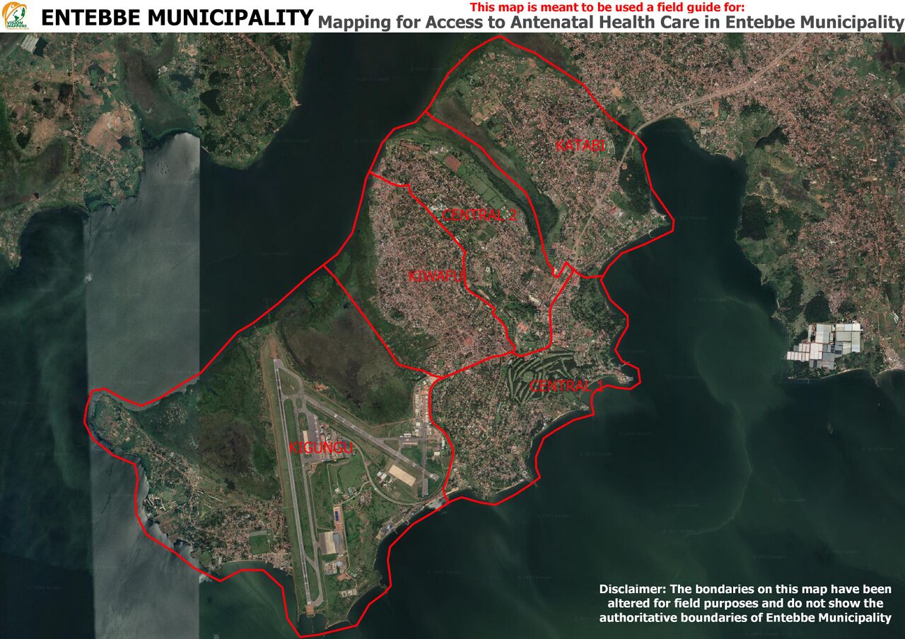
File:Field Map.jpg
Jump to navigation
Jump to search


Size of this preview: 800 × 566 pixels. Other resolutions: 320 × 226 pixels | 640 × 453 pixels | 1,024 × 724 pixels | 1,280 × 905 pixels | 2,560 × 1,810 pixels | 3,507 × 2,480 pixels.
Original file (3,507 × 2,480 pixels, file size: 1.06 MB, MIME type: image/jpeg)
- This media file was uploaded by author of the work and its copyright holder.
![]()
![]()
![]()
This work is licensed under the Creative Commons Attribution-ShareAlike 4.0 License.
Attribution: Ngumenawesamson
Attribution: Ngumenawesamson
aerial imagery was Google satellite Imagery accessed via QuickMapServices in QGIS
File history
Click on a date/time to view the file as it appeared at that time.
| Date/Time | Thumbnail | Dimensions | User | Comment | |
|---|---|---|---|---|---|
| current | 15:49, 20 December 2023 | | 3,507 × 2,480 (1.06 MB) | Ngumenawesamson (talk | contribs) |
You cannot overwrite this file.
File usage
The following page uses this file: