File:Furntiture factory nrw lidar.png
Jump to navigation
Jump to search


Size of this preview: 600 × 600 pixels. Other resolutions: 240 × 240 pixels | 480 × 480 pixels | 768 × 768 pixels | 1,024 × 1,024 pixels | 2,048 × 2,048 pixels | 3,307 × 3,307 pixels.
Original file (3,307 × 3,307 pixels, file size: 1.55 MB, MIME type: image/png)
Summary
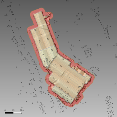
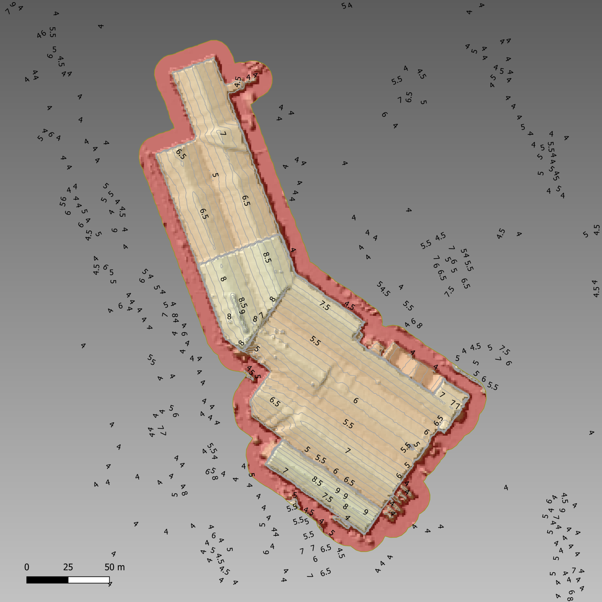
| Description | Height profile of a furniture factory in Merthyr Tydfil from NRW Lidar data |
|---|---|
| Author | SK53 |
| Source | NRW Lidar open data; own work |
| Date | 2022-08-20 |
| Permission | CC-BY-SA 4.0 |
Licensing
- This media file was uploaded by author of the work and its copyright holder.
![]()
![]()
![]()
This work is licensed under the Creative Commons Attribution-ShareAlike 4.0 License.
Attribution: SK53
Attribution: SK53
File history
Click on a date/time to view the file as it appeared at that time.
| Date/Time | Thumbnail | Dimensions | User | Comment | |
|---|---|---|---|---|---|
| current | 08:42, 25 August 2022 | | 3,307 × 3,307 (1.55 MB) | SK53 (talk | contribs) | {{Information | description=Height profile of a furniture factory in Merthyr Tydfil from NRW Lidar data | source=NRW Lidar open data; own work | date=2022-08-20 | author=SK53 | permission=CC-BY-SA 4.0 | other_versions= }} |
You cannot overwrite this file.
File usage
There are no pages that use this file.