File:Geel.png
Jump to navigation
Jump to search

No higher resolution available.
Geel.png (492 × 598 pixels, file size: 63 KB, MIME type: image/png)
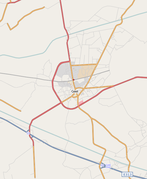
Area around Geel (Flanders, Belgium)
This map was generated from OSM data back in 2008 and only OSM data was used.
Therefore a lot of streets are missing, even some main roads stop in the middle of their actual length.
![]()
Contains map data © OpenStreetMap contributors, made available under the terms of the Creative Commons Attribution-ShareAlike 2.0 (CC-BY-SA-2.0).
File history
Click on a date/time to view the file as it appeared at that time.
| Date/Time | Thumbnail | Dimensions | User | Comment | |
|---|---|---|---|---|---|
| current | 10:10, 7 August 2008 | | 492 × 598 (63 KB) | Jb2500 (talk | contribs) | Area aroud Geel (Flanders, Belgium) |
You cannot overwrite this file.
File usage
There are no pages that use this file.