File:Greater Victoria Area map 24 july 08.jpg
Jump to navigation
Jump to search

No higher resolution available.
Greater_Victoria_Area_map_24_july_08.jpg (394 × 434 pixels, file size: 35 KB, MIME type: image/jpeg)
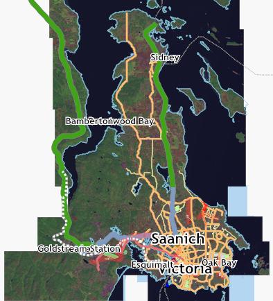
Using Kosmos software and showing the landsat image, this is what has been mapped so far.
File history
Click on a date/time to view the file as it appeared at that time.
| Date/Time | Thumbnail | Dimensions | User | Comment | |
|---|---|---|---|---|---|
| current | 06:42, 25 July 2008 | | 394 × 434 (35 KB) | Acrosscanadatrails (talk | contribs) | Using Kosmos software and showing the landsat image, this is what has been mapped so far. |
You cannot overwrite this file.
File usage
The following 2 pages use this file: