File:Height profile barometer map.png
Jump to navigation
Jump to search

No higher resolution available.
Height_profile_barometer_map.png (590 × 423 pixels, file size: 9 KB, MIME type: image/png)
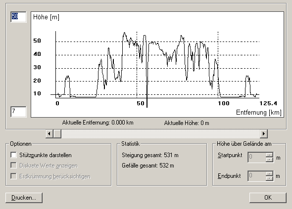
hight profile example: gps measured bicycle tour with barometric support, corresponding map data
File history
Click on a date/time to view the file as it appeared at that time.
| Date/Time | Thumbnail | Dimensions | User | Comment | |
|---|---|---|---|---|---|
| current | 15:39, 8 December 2008 | | 590 × 423 (9 KB) | De muur (talk | contribs) | hight profile example: gps measured bicycle tour with barometric support, corresponding map data |
You cannot overwrite this file.
File usage
There are no pages that use this file.