File:Josm etalonner image.png
Jump to navigation
Jump to search
Size of this preview: 684 × 600 pixels. Other resolutions: 274 × 240 pixels | 548 × 480 pixels | 923 × 809 pixels.
Original file (923 × 809 pixels, file size: 247 KB, MIME type: image/png)
Summary
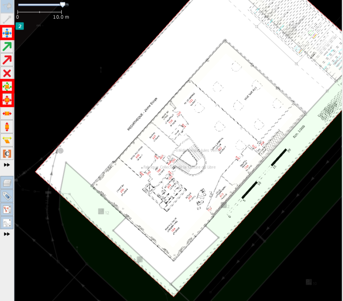
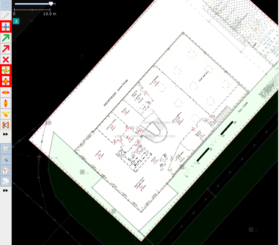
Étalonner plan bâti par rapport à cadastre
Licensing
- This media file was uploaded by author of the work and its copyright holder.
![]()
![]()
![]()
This work is licensed under the Creative Commons Attribution-ShareAlike 4.0 License.
Attribution: Axelos
Attribution: Axelos
File history
Click on a date/time to view the file as it appeared at that time.
| Date/Time | Thumbnail | Dimensions | User | Comment | |
|---|---|---|---|---|---|
| current | 16:31, 25 July 2019 | | 923 × 809 (247 KB) | Axelos (talk | contribs) | Étalonner plan bâti par rapport à cadastre |
You cannot overwrite this file.
File usage
The following page uses this file: