File:Landgrabenkreuzung in Herzberg.jpeg
Jump to navigation
Jump to search


Size of this preview: 800 × 600 pixels. Other resolutions: 320 × 240 pixels | 640 × 480 pixels | 1,024 × 768 pixels | 1,280 × 960 pixels | 2,560 × 1,920 pixels | 3,264 × 2,448 pixels.
Original file (3,264 × 2,448 pixels, file size: 1.94 MB, MIME type: image/jpeg)
Summary
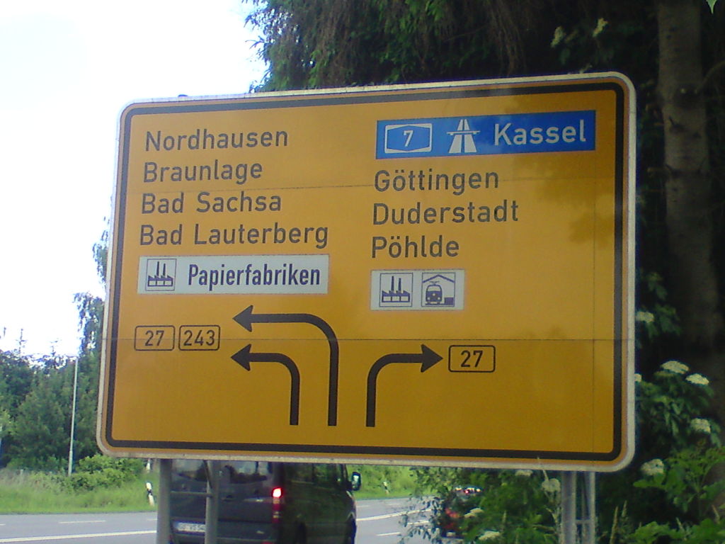
Schild an der Bundesstraße 243 vor der Landgrabenkreuzung in Herzberg am Harz mit der B 27
Daten in OpenStreetMap: https://www.openstreetmap.org/#map=19/51.65078/10.33616&layers=D
Licensing
![]()
![]()
![]()
This work is licensed under the Creative Commons Attribution-ShareAlike 4.0 License.
Attribution: Thorben Bick
Attribution: Thorben Bick
File history
Click on a date/time to view the file as it appeared at that time.
| Date/Time | Thumbnail | Dimensions | User | Comment | |
|---|---|---|---|---|---|
| current | 17:17, 14 September 2015 | | 3,264 × 2,448 (1.94 MB) | T2425b (talk | contribs) | Schild an der Bundesstraße 243 vor der ''Landgrabenkreuzung'' in Herzberg am Harz mit der B 27 |
You cannot overwrite this file.
File usage
The following 3 pages use this file: