File:MUTCD-OH I-H16.svg
Jump to navigation
Jump to search


Size of this PNG preview of this SVG file: 480 × 600 pixels. Other resolutions: 192 × 240 pixels | 384 × 480 pixels | 614 × 768 pixels | 819 × 1,024 pixels | 1,080 × 1,350 pixels.
Original file (SVG file, nominally 1,080 × 1,350 pixels, file size: 42 KB)
This file and its description are from Wikimedia Commons.
Summary
| Description |
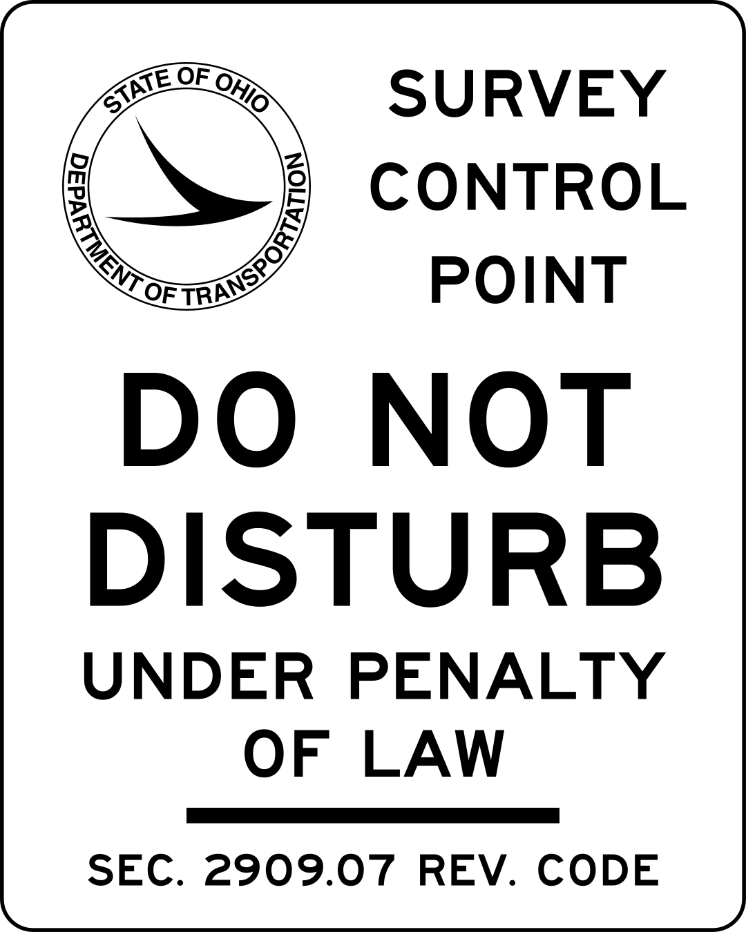
English: Sign I-H16 “(Logo) / SURVEY CONTROL POINT / DO NOT …” from the Ohio Manual of Uniform Traffic Control Devices, with text converted to paths for display. |
| Date | |
| Source | (Logo) / SURVEY CONTROL POINT / DO NOT … |
| Author | Ohio Department of Transportation |
| Other versions |
This file was derived from: Emblem of the Ohio Department of Transportation.svg |
Licensing
This file is in the public domain because it comes from the Ohio Manual of Uniform Traffic Control Devices, sign number I-H16, which states specifically in its introduction, on page I-1 that:
|
 |
File history
Click on a date/time to view the file as it appeared at that time.
| Date/Time | Thumbnail | Dimensions | User | Comment | |
|---|---|---|---|---|---|
| current | 08:10, 7 January 2024 | | 1,080 × 1,350 (42 KB) | wikimediacommons>Mxn | Uploaded a work by Ohio Department of Transportation from [https://www.dot.state.oh.us/roadway/sdmm/SDMMSignFiles/I-H16.pdf (Logo) / SURVEY CONTROL POINT / DO NOT …] with UploadWizard |
File usage
The following page uses this file: