File:Markerhpyhtf.jpg
Jump to navigation
Jump to search


Size of this preview: 349 × 599 pixels. Other resolutions: 140 × 240 pixels | 350 × 601 pixels.
Original file (350 × 601 pixels, file size: 72 KB, MIME type: image/jpeg)
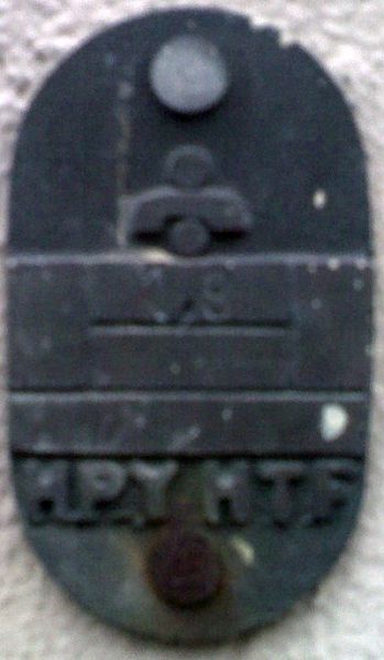
Identification plate for an old telecommunication manhole.
File history
Click on a date/time to view the file as it appeared at that time.
| Date/Time | Thumbnail | Dimensions | User | Comment | |
|---|---|---|---|---|---|
| current | 16:04, 27 November 2009 | | 350 × 601 (72 KB) | Alv (talk | contribs) | Identification plate for an old telecommunication manhole. |
You cannot overwrite this file.
File usage
The following 2 pages use this file: