File:Montreal-coastlines.png
Jump to navigation
Jump to search

No higher resolution available.
Montreal-coastlines.png (358 × 135 pixels, file size: 70 KB, MIME type: image/png)
A portion of Montreal, Canada, showing the uploaded PGS coastline data. PGS interpreted some bridges as coastline. Perhaps a local expert will correct this?
File history
Click on a date/time to view the file as it appeared at that time.
| Date/Time | Thumbnail | Dimensions | User | Comment | |
|---|---|---|---|---|---|
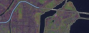
| current | 12:29, 28 October 2006 | 358 × 135 (70 KB) | Rw (talk | contribs) | A portion of Montreal, taken from the slippy map. This shows some local mapping activity and the uploaded coastline data. | |
| 12:12, 28 October 2006 | 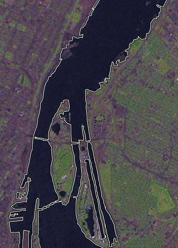 | 355 × 495 (244 KB) | Rw (talk | contribs) | A portion of Montreal, Canada, showing the uploaded PGS coastline data. PGS interpreted some bridges as coastline. Perhaps a local expert will correct this? |
You cannot overwrite this file.
File usage
There are no pages that use this file.